


Territory: 1254 km²
Agricultural land: 70049 ha
Including arable land: 39399 ha
Population: 266,600 (as of 2016)
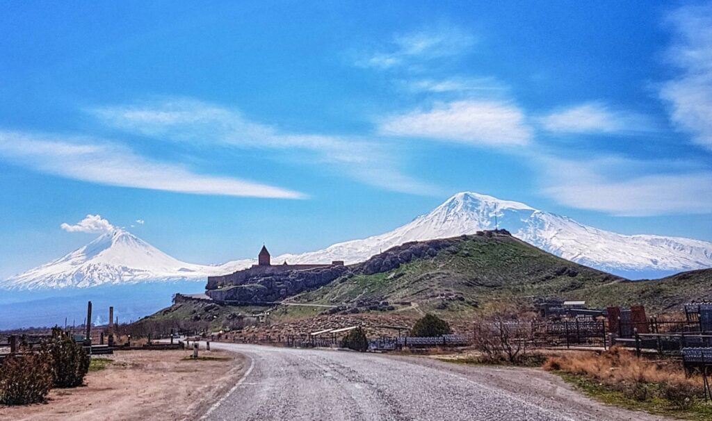
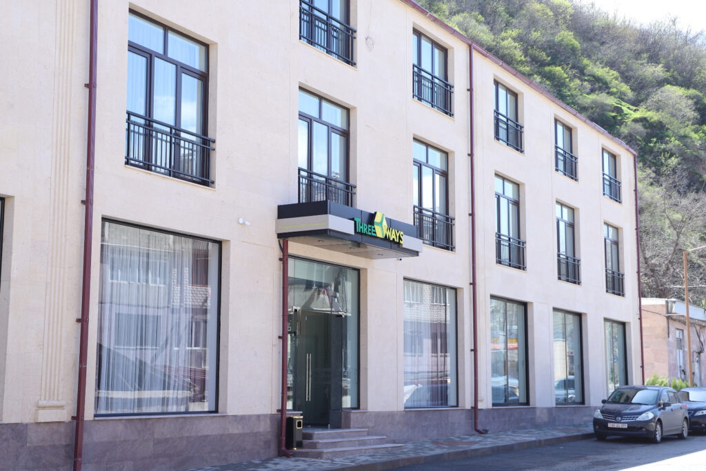
The Marz of Armavir is located to the South of Aragatsotn Marz and was named after one of the first capitals of Armenia- Armavir.
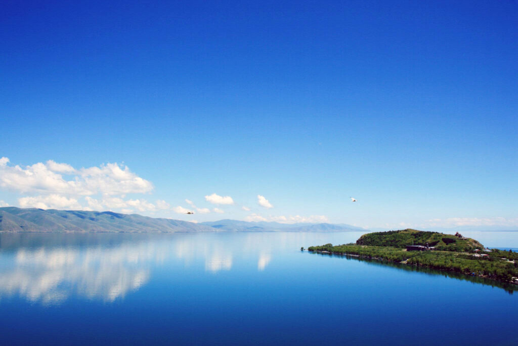
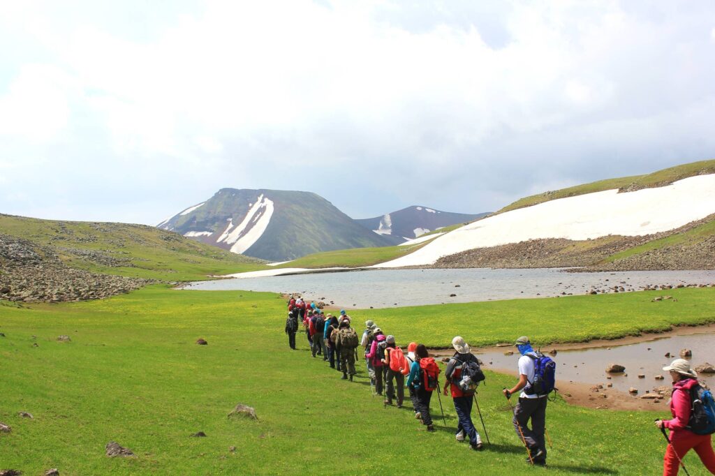
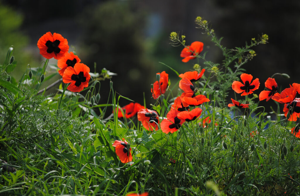
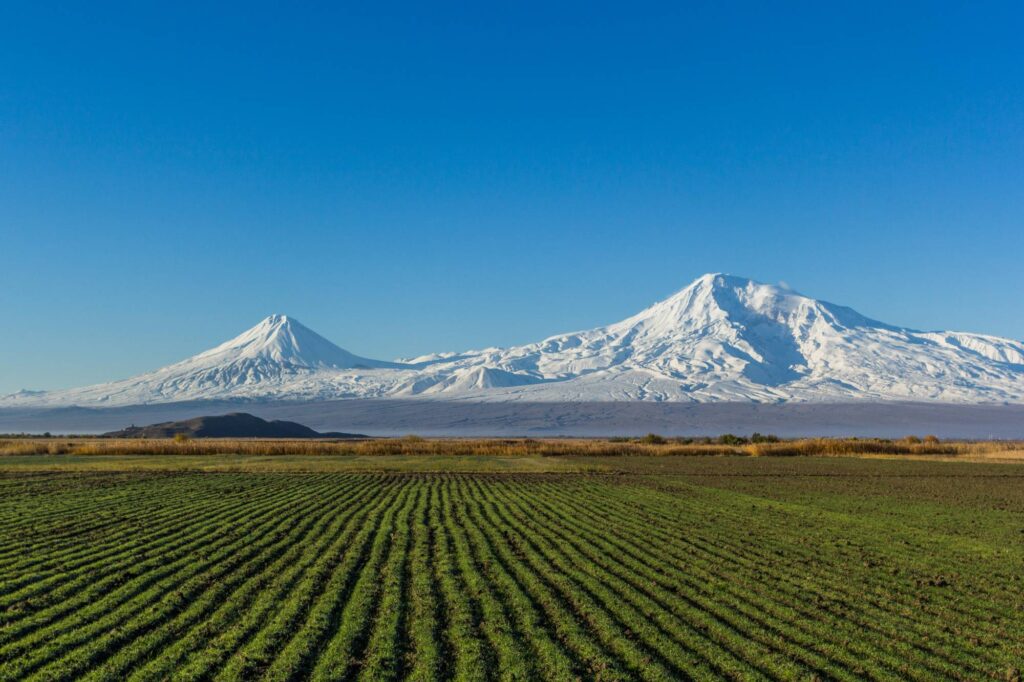
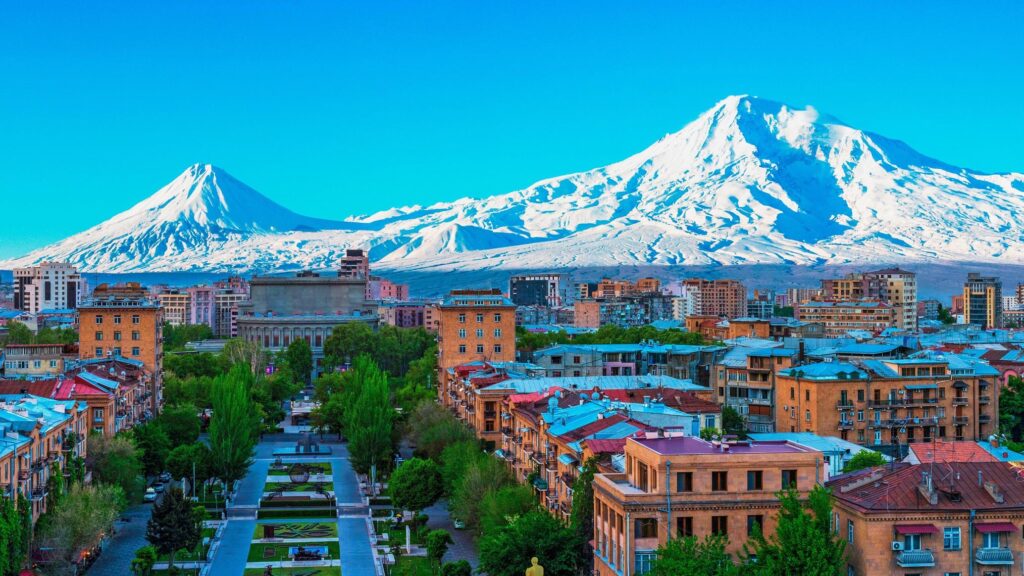
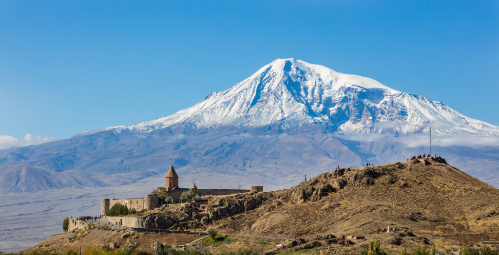
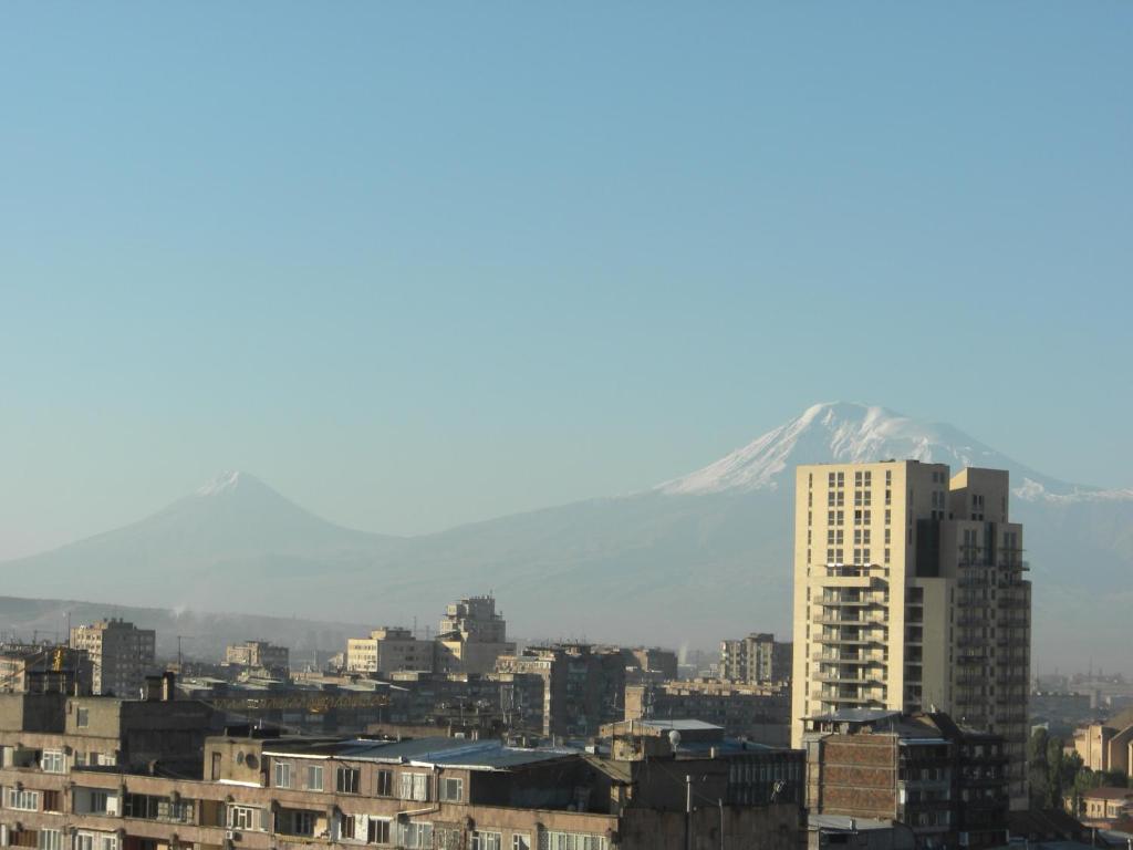
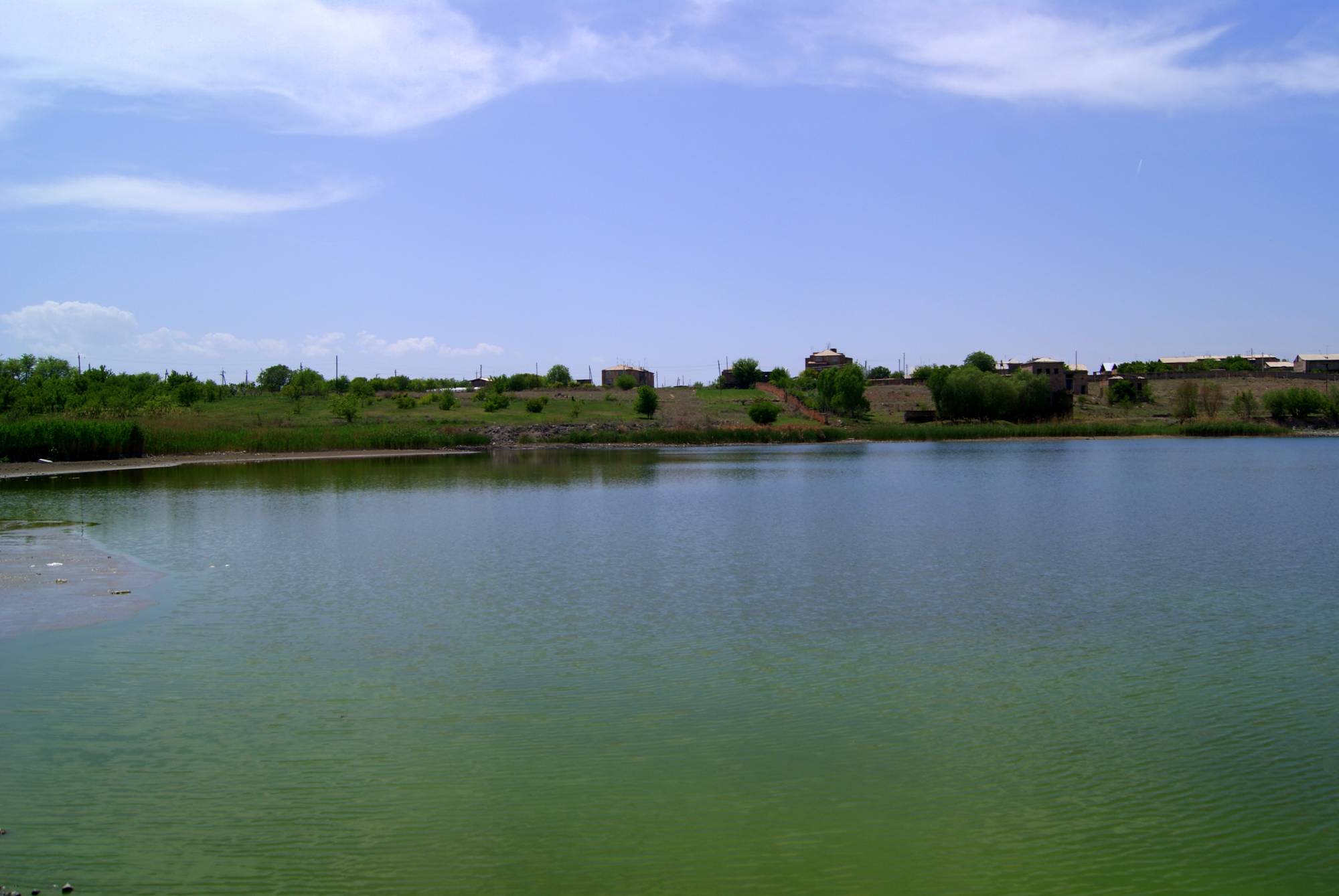
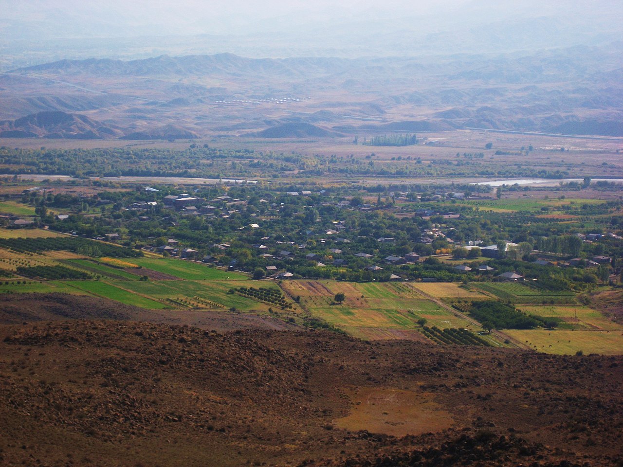
Armavir lies between Ararat and Aragats mountains. Armavir marz has a sunny, dry and continental climate. Lake Metsamor is the only natural water reservoir here. It is noteworthy that “red worms” – cochineal, special insects which were used for production of dyes- can be found in the valleys of the marz.
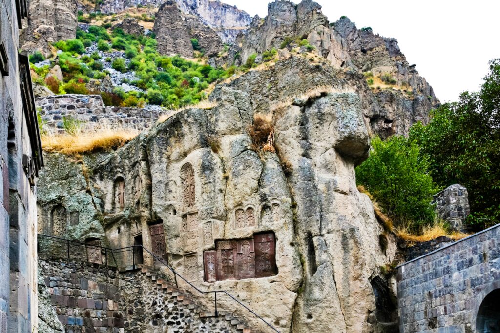
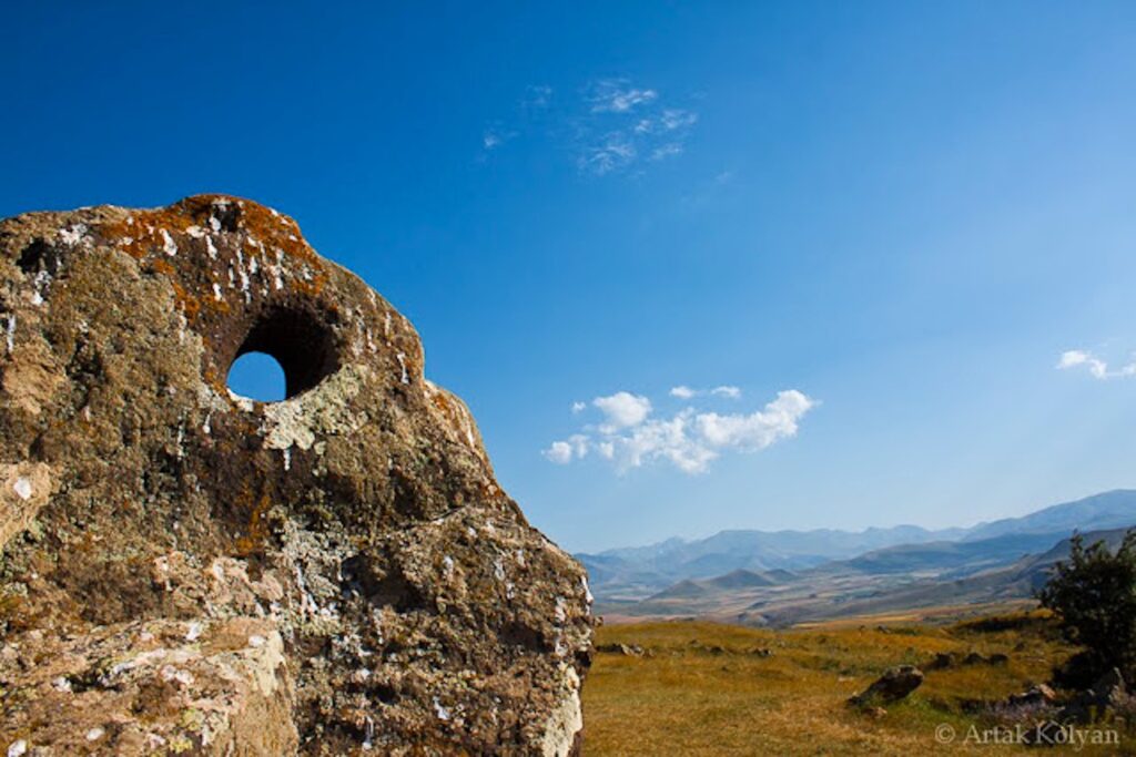
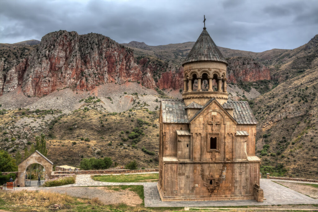
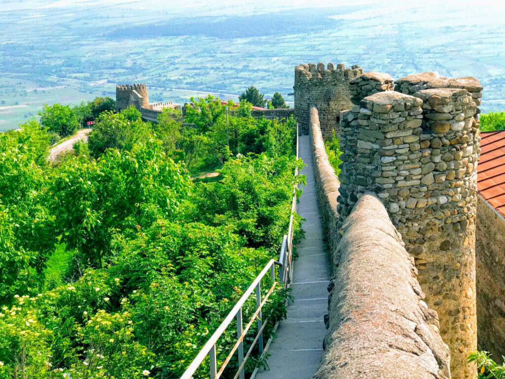
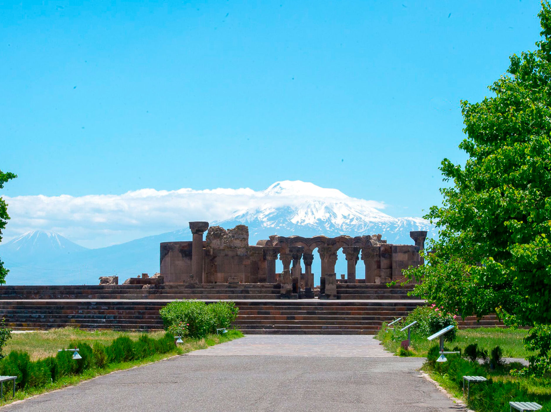
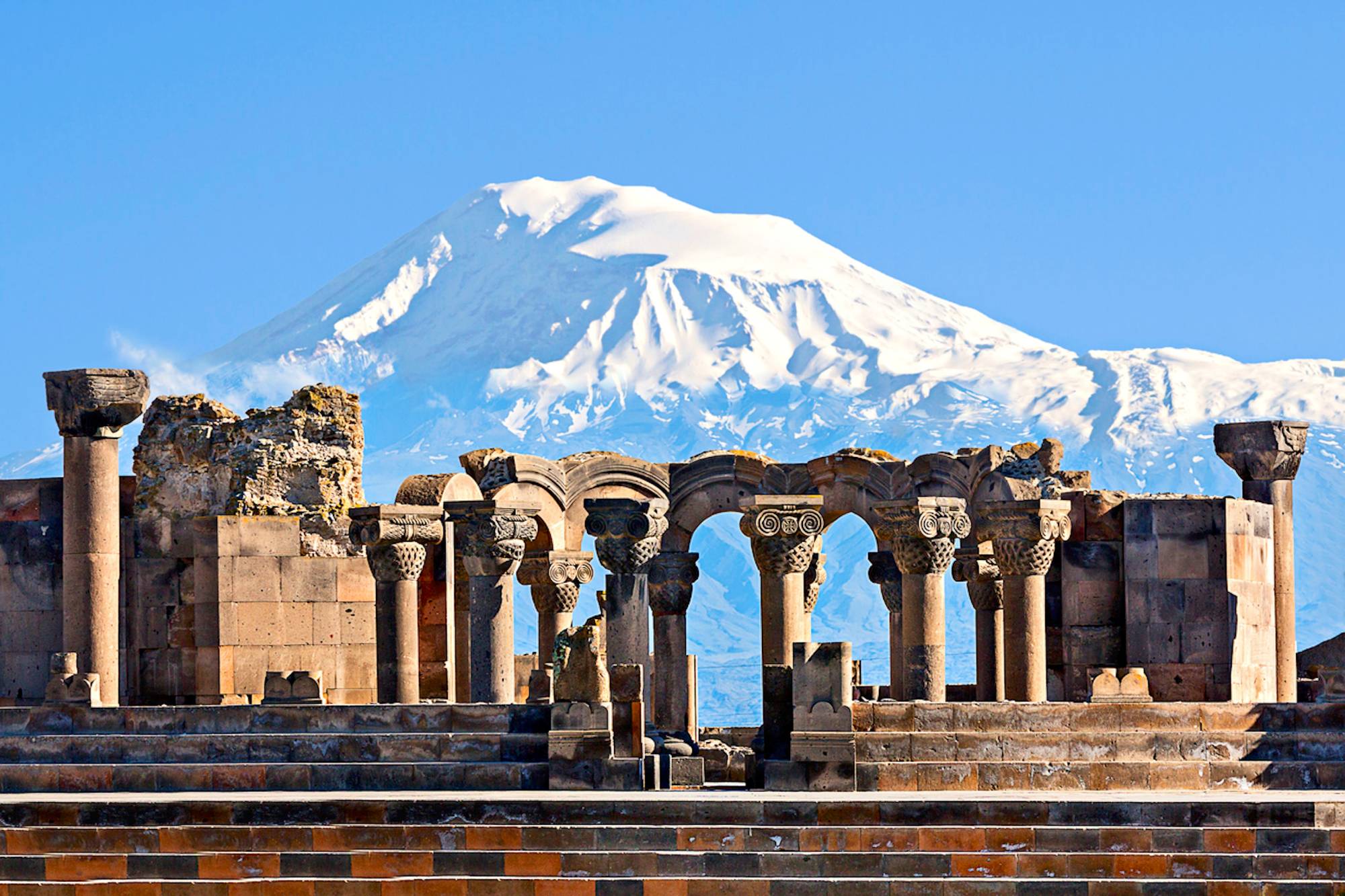
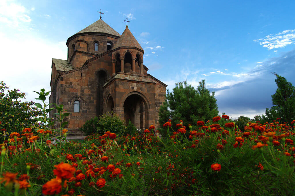
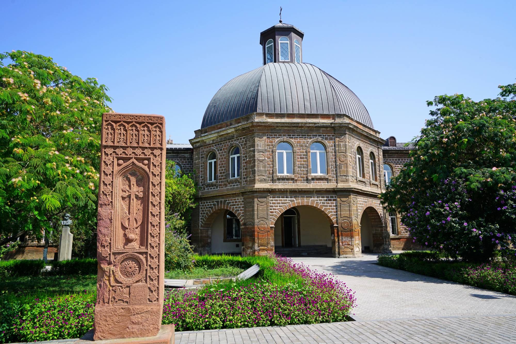
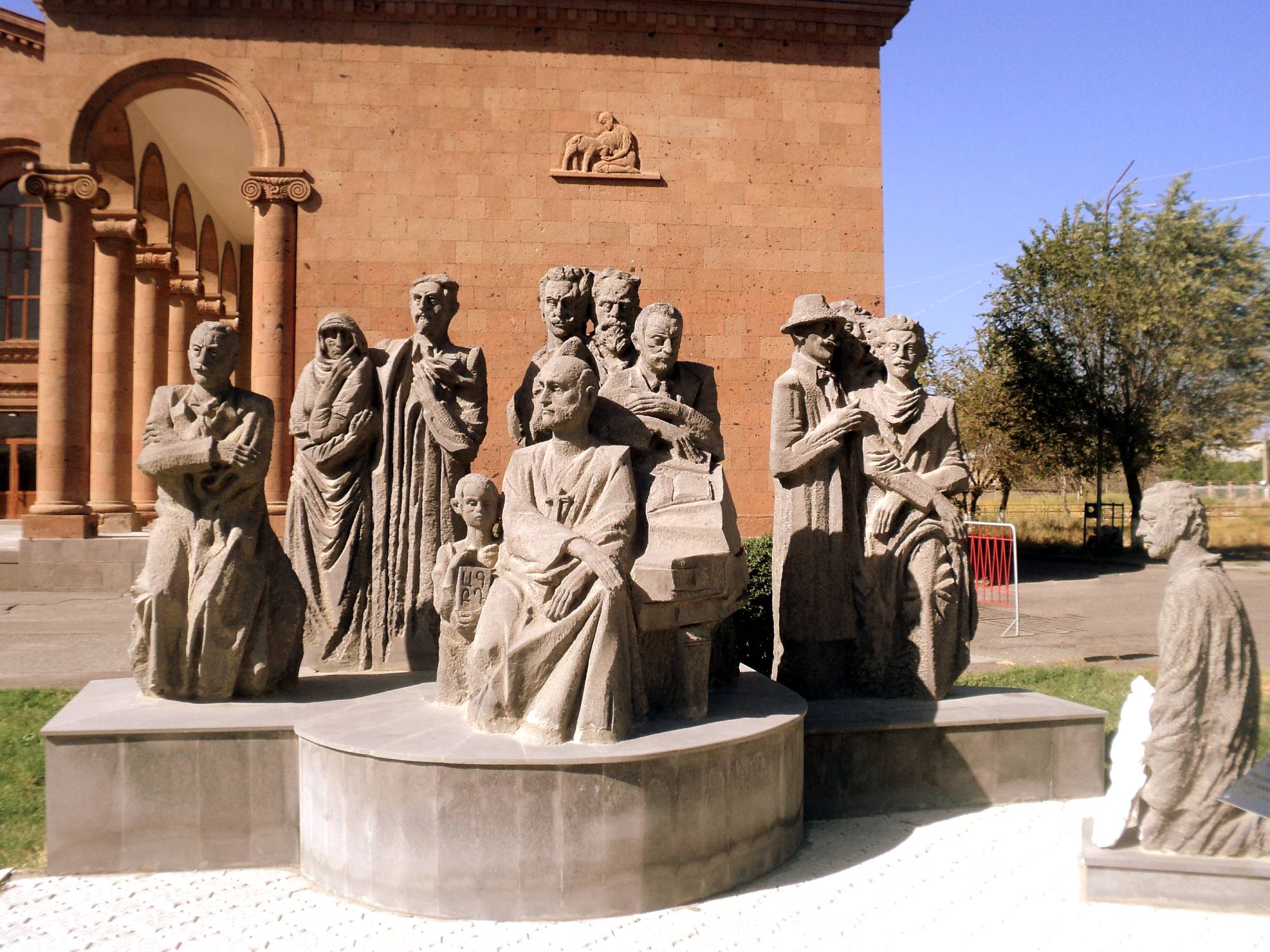
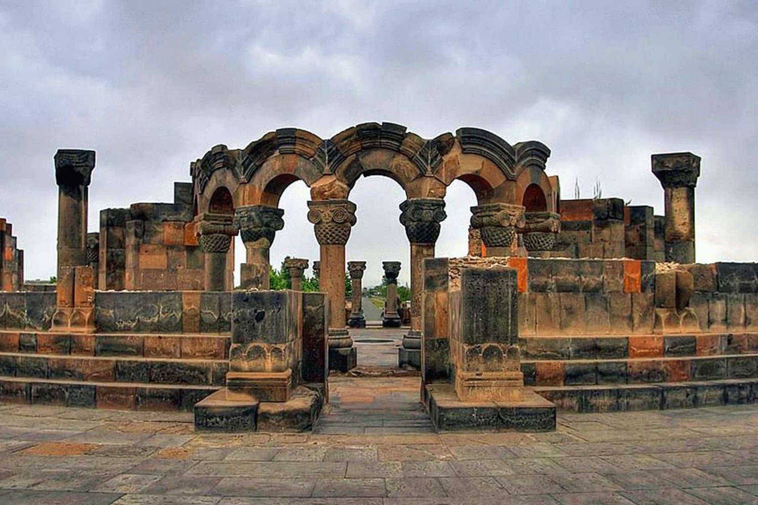
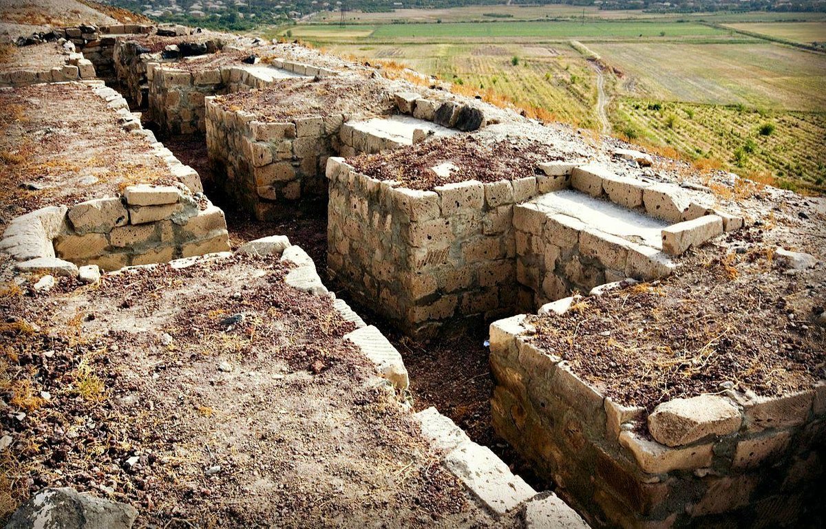
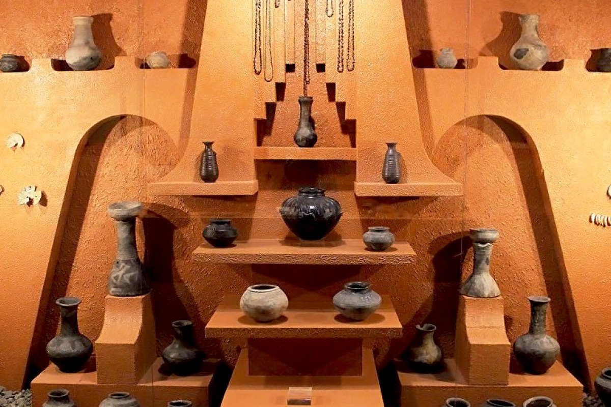
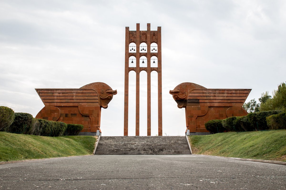
Architecture has been developed here since prehistoric times. Among the numerous evidences there are the ruins of cyclopean fortresses, burial places and palace buildings. Metsamor has a history of 7000 years, town fortress Argishtikhinili (VIII B.C.- IV A.D), four Armenian capitals out of total of thirteen were situated on the territory of this marz: Armavir, Yervandashat, Bagaran and Vagharshapat.
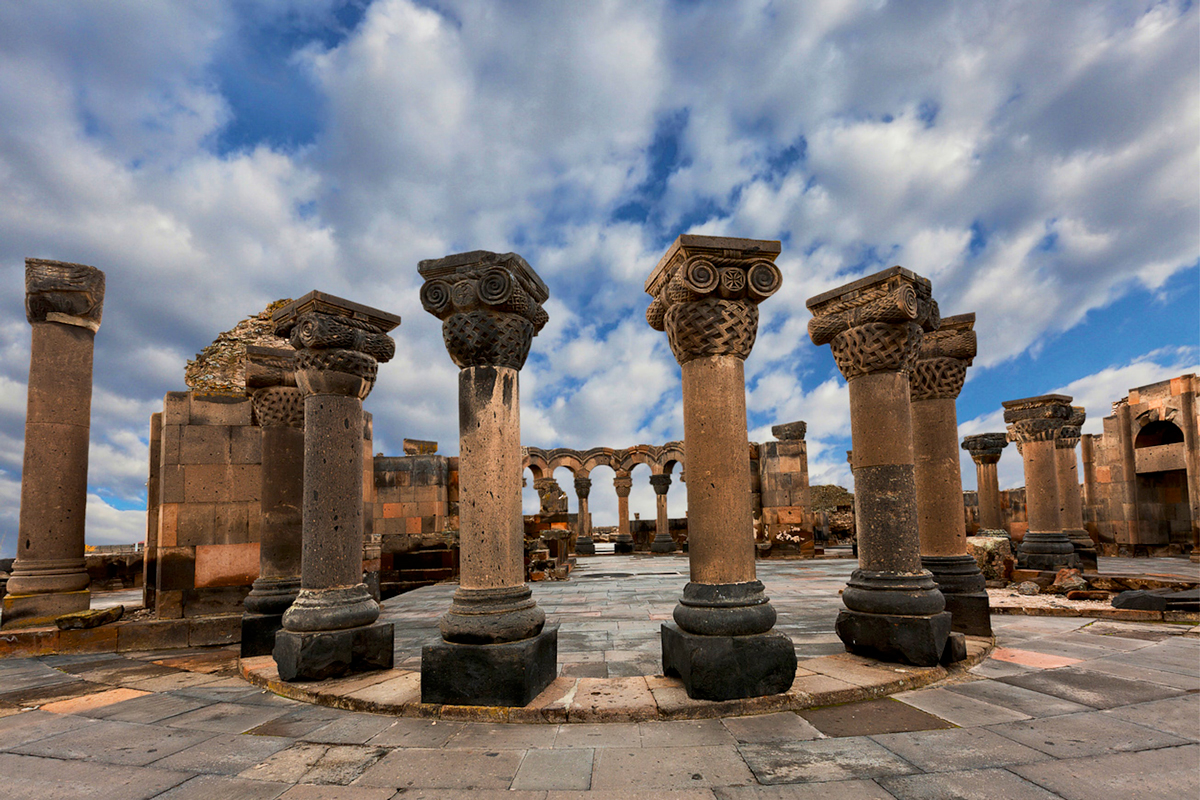
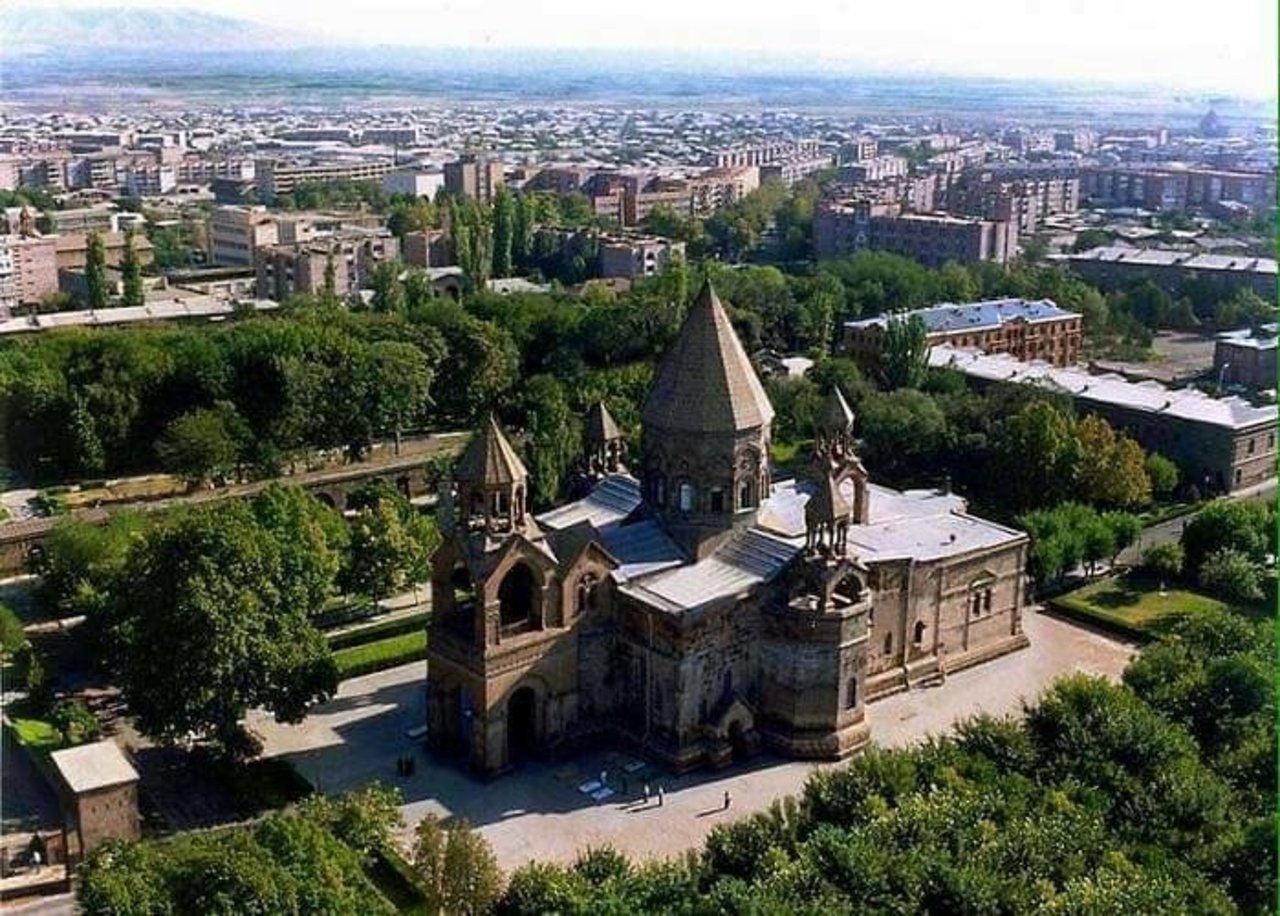
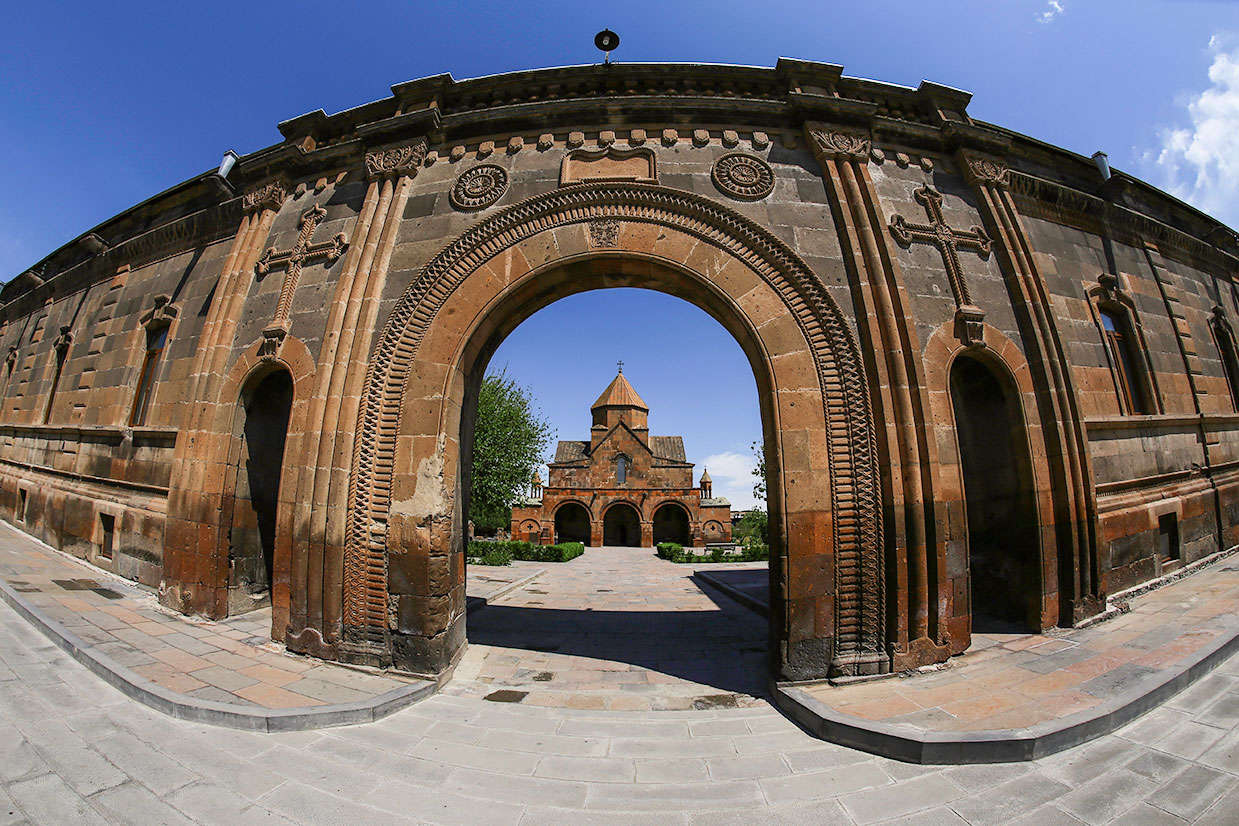
Vagharshapat is in some 15 minutes distance from the present capital Yerevan, and was known since 570-560 B.C. It was the Armenian king Vagharsh (117-140 A.D) who made the town Armenia’s capital.
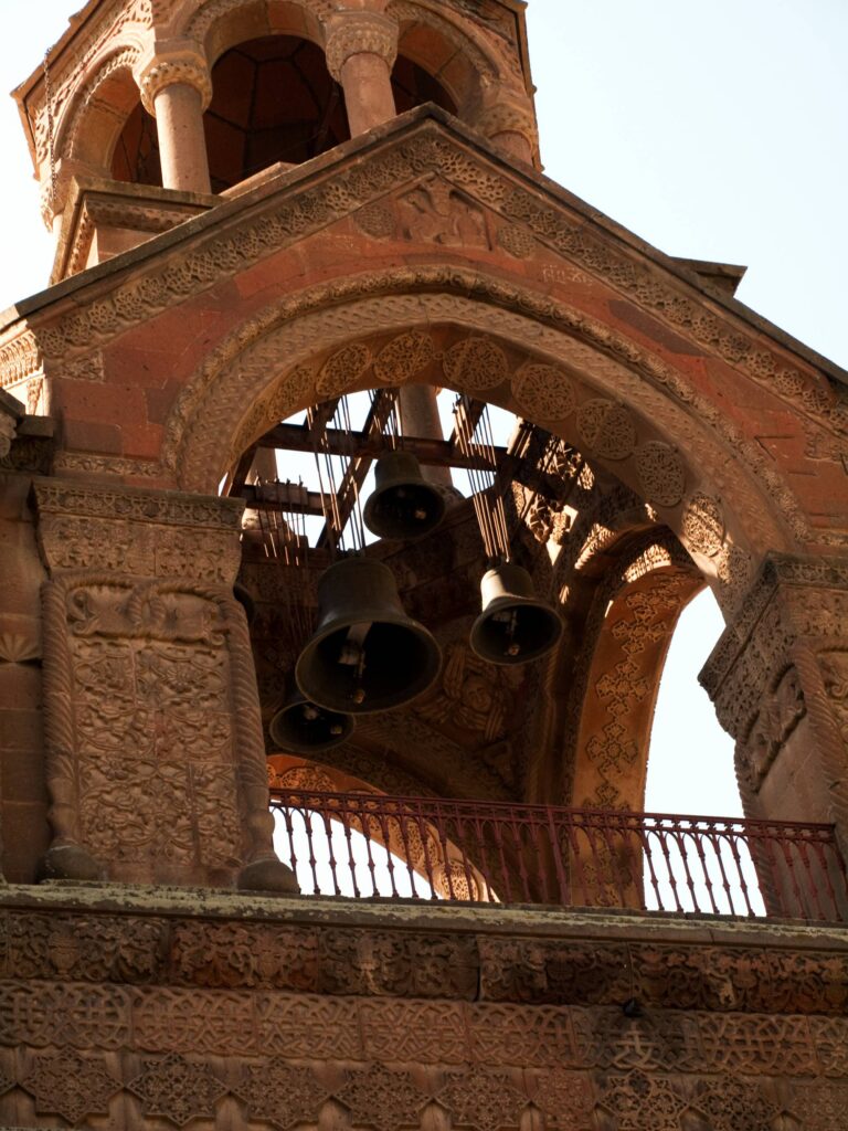
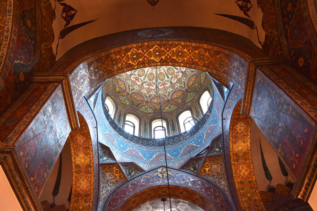
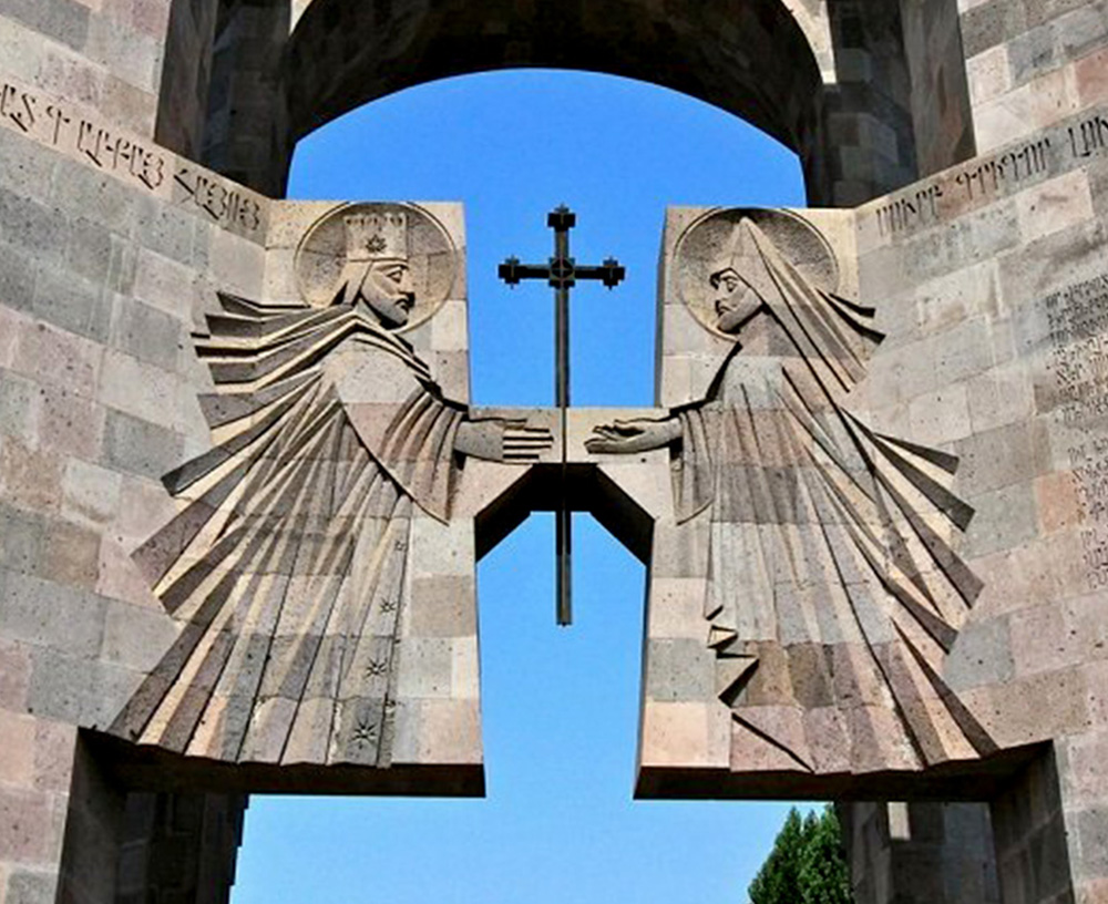
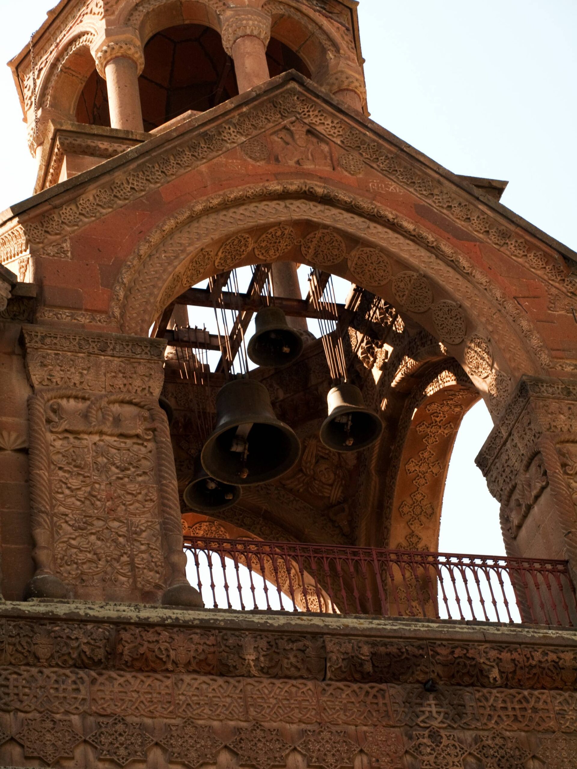
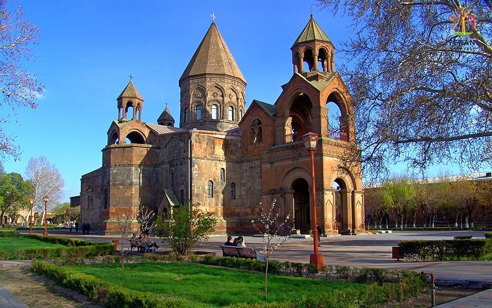
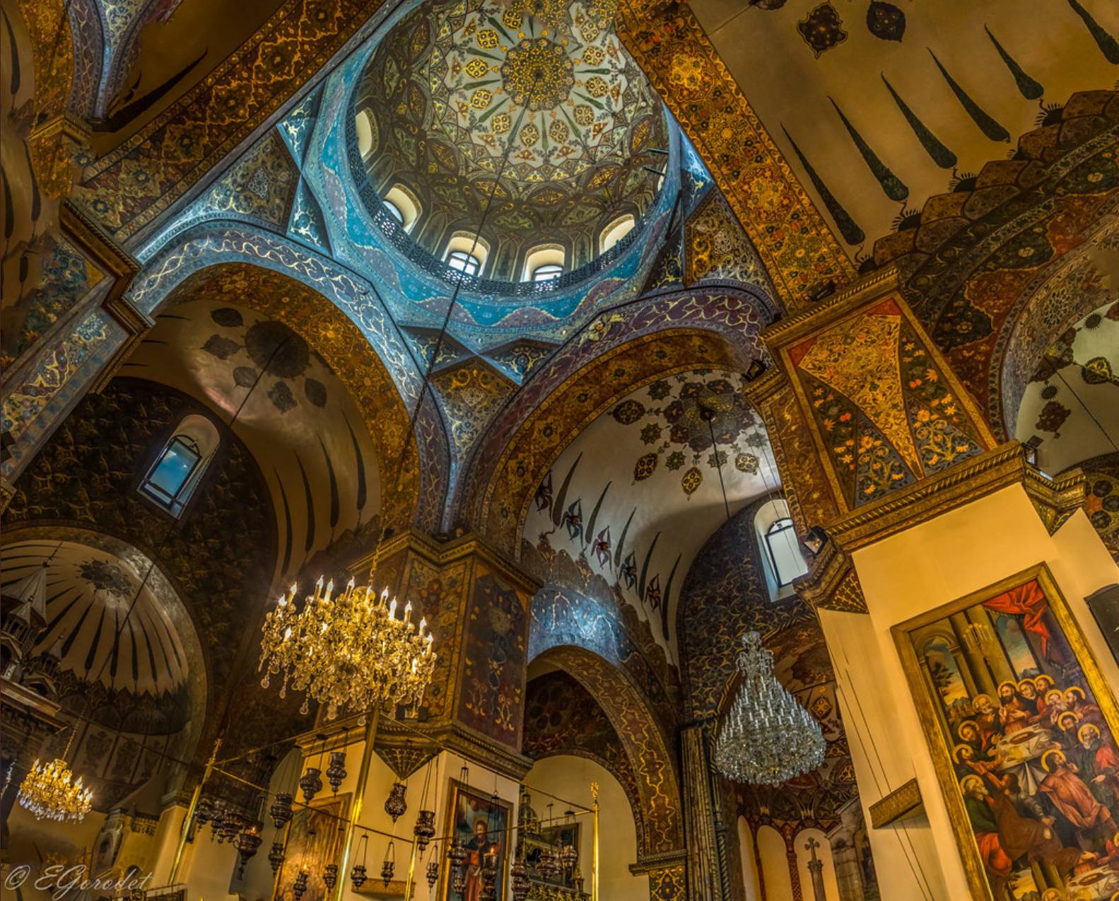
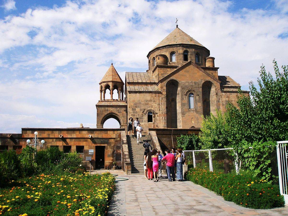
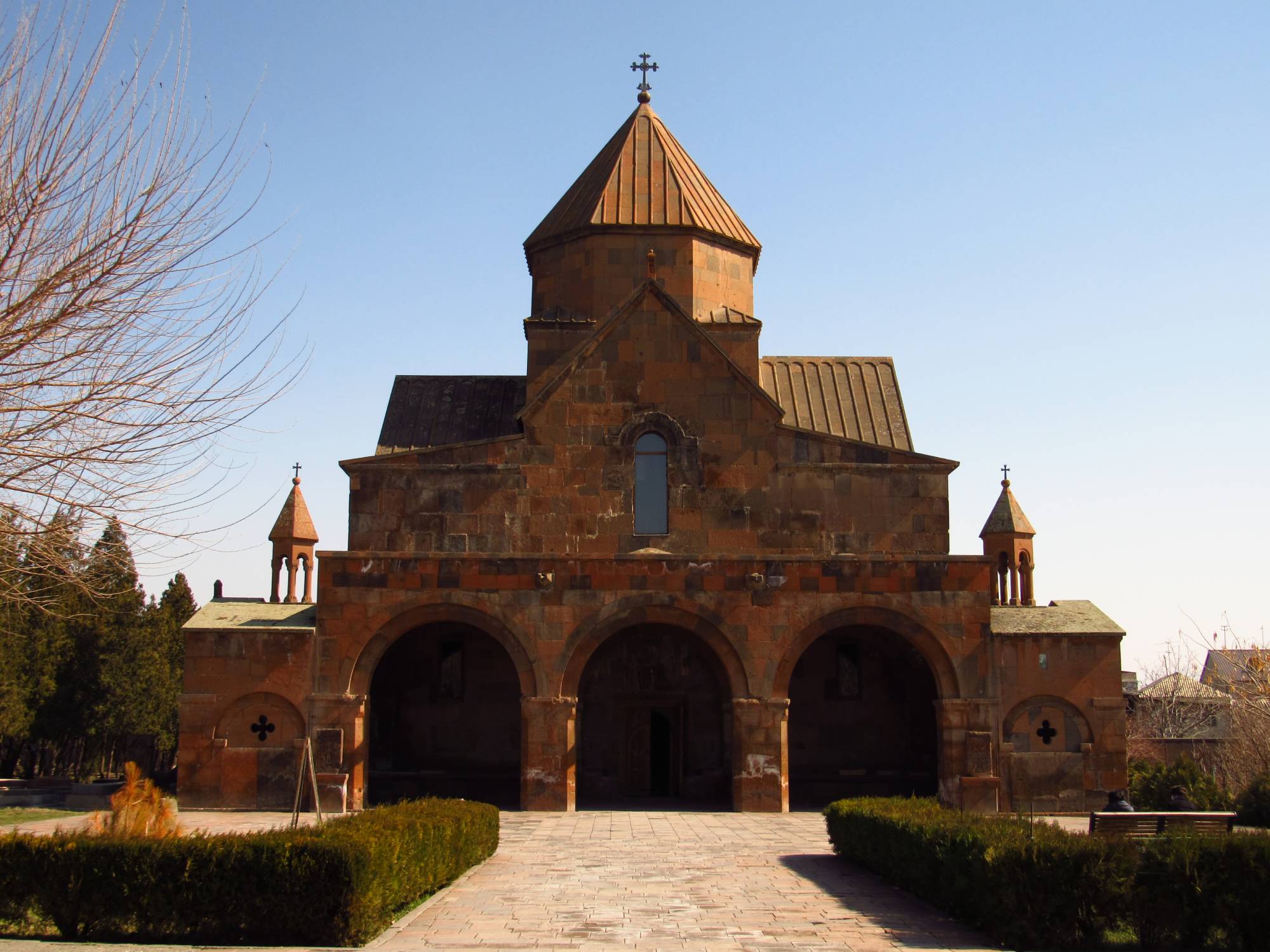
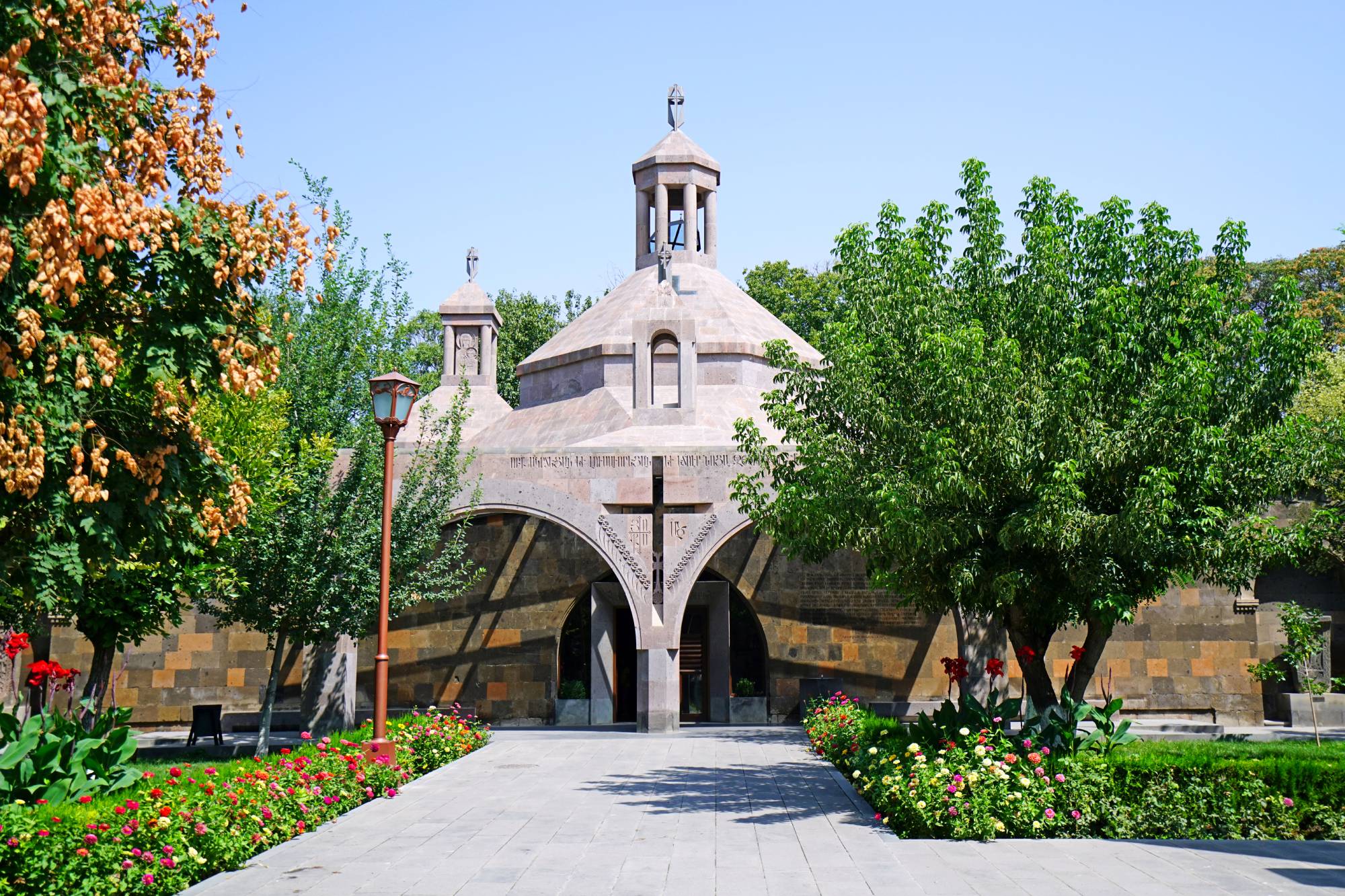
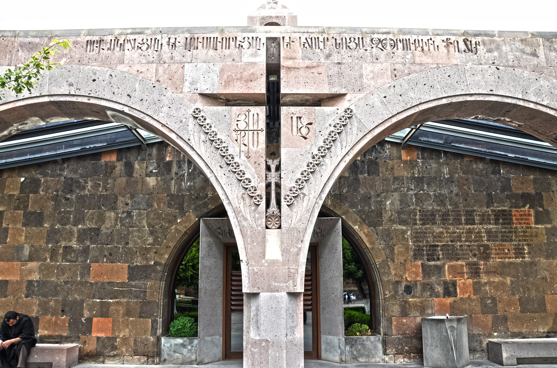
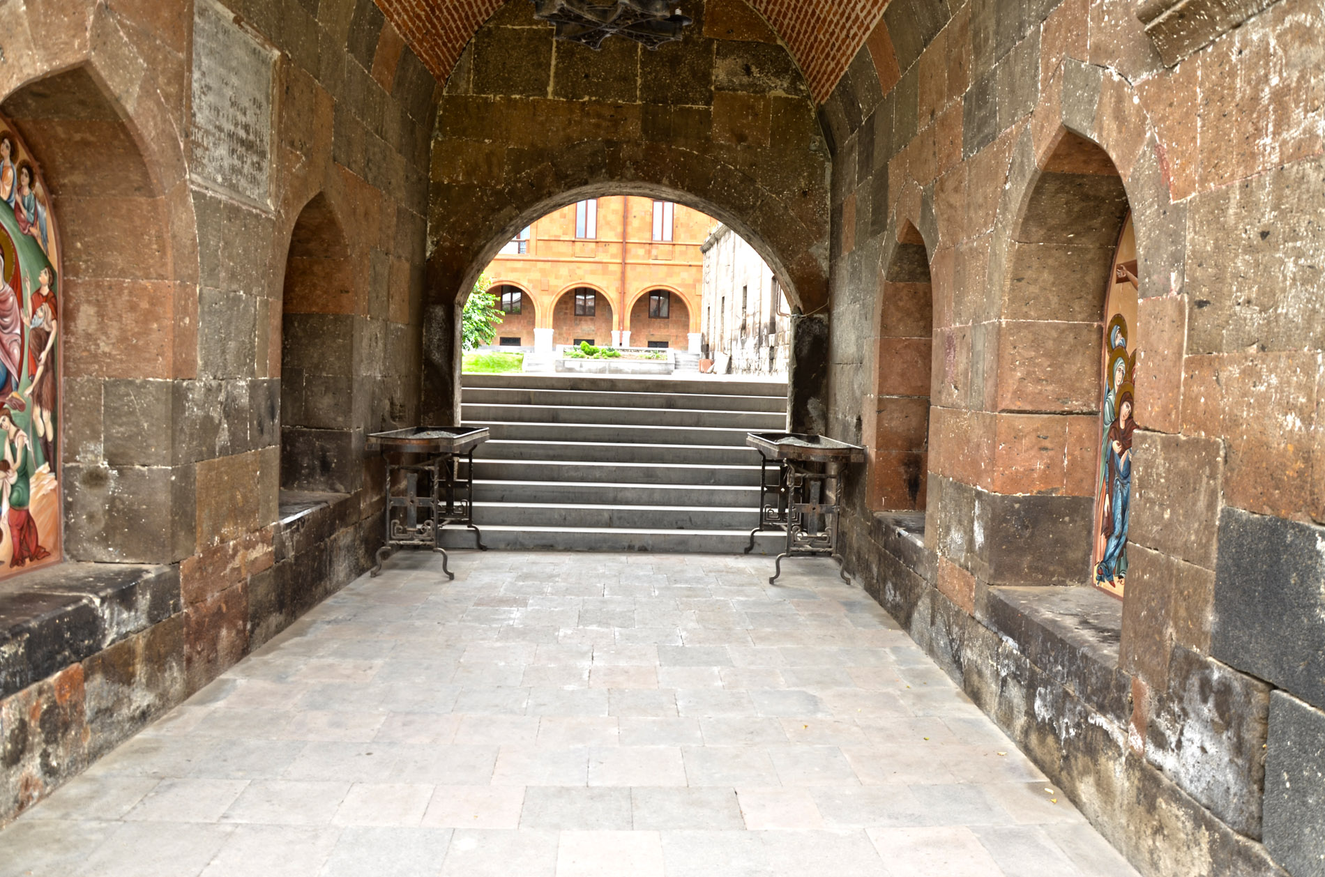
After the adoption of Christianity, Armenian king Trdat III destroyed the pagan temple in Vagharshapat and founded the Mother Cathedral of St. Echmiadzin in its place. The name (descent of the only begotten) comes from a legend according to which St. Gregory the Illuminator in a dream saw Christ descending with an igneous hammer in his hand and showing the place where the cathedral was to be built.


