


Territory: 3789 km²
Agricultural land: 192212 ha
Including arable land: 47823 ha
Population: 225,000 (as of 2016)
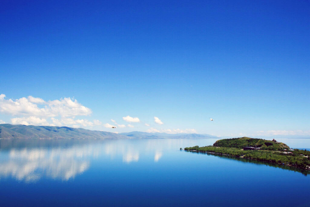
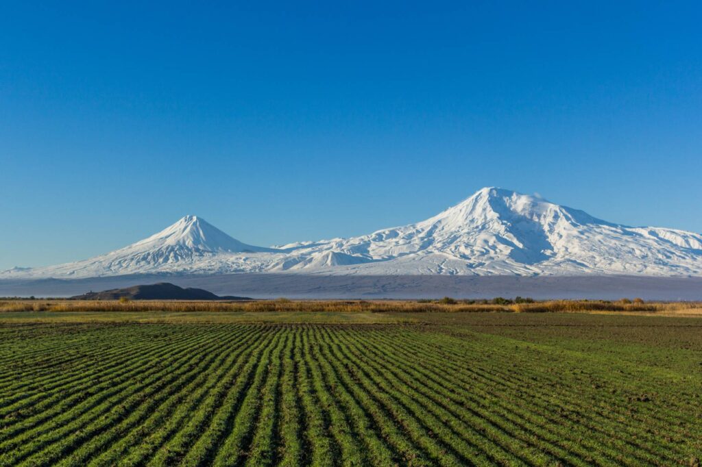
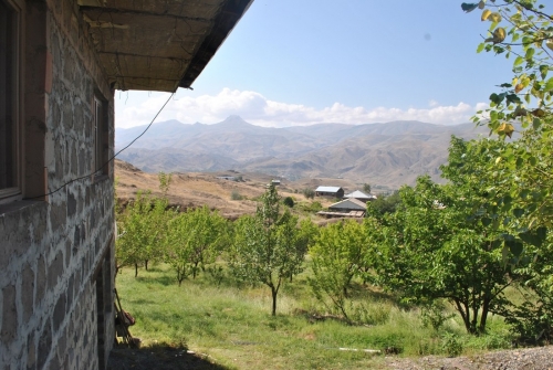
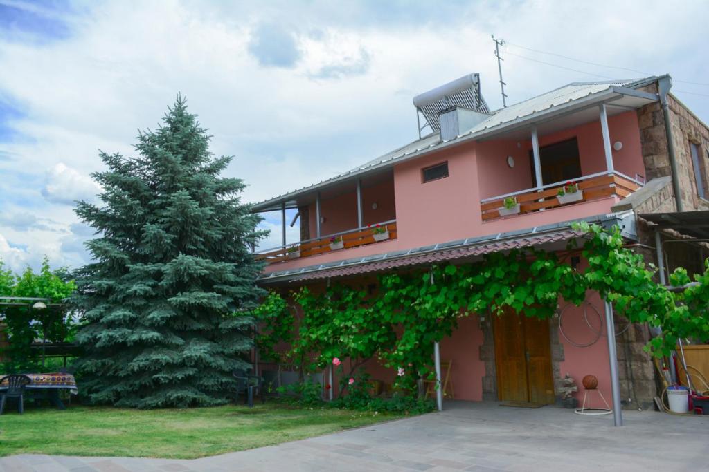
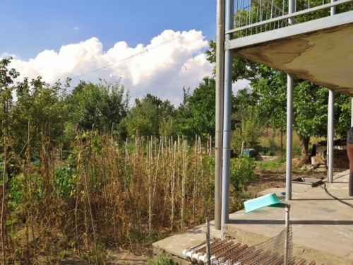
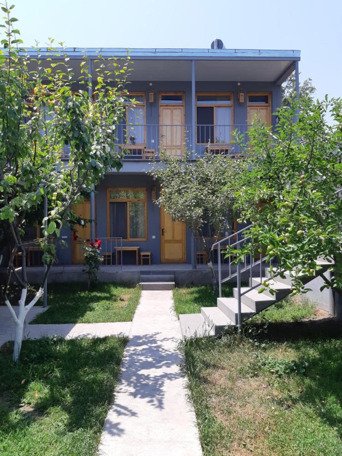
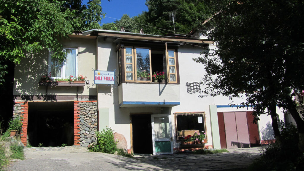
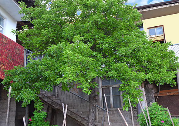
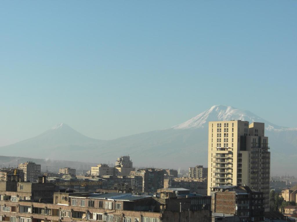
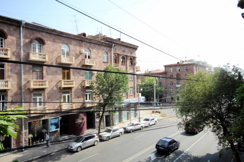
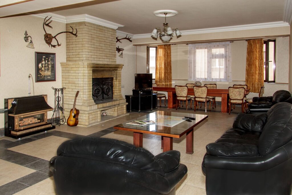
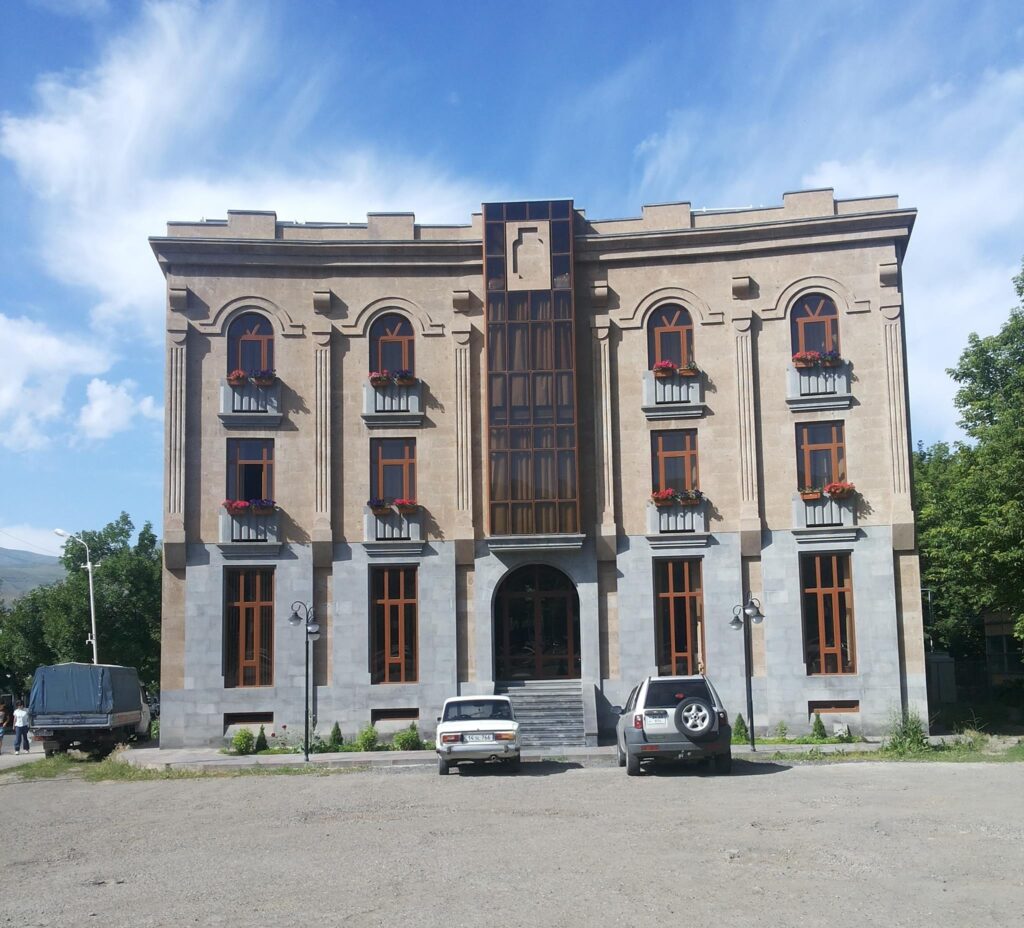
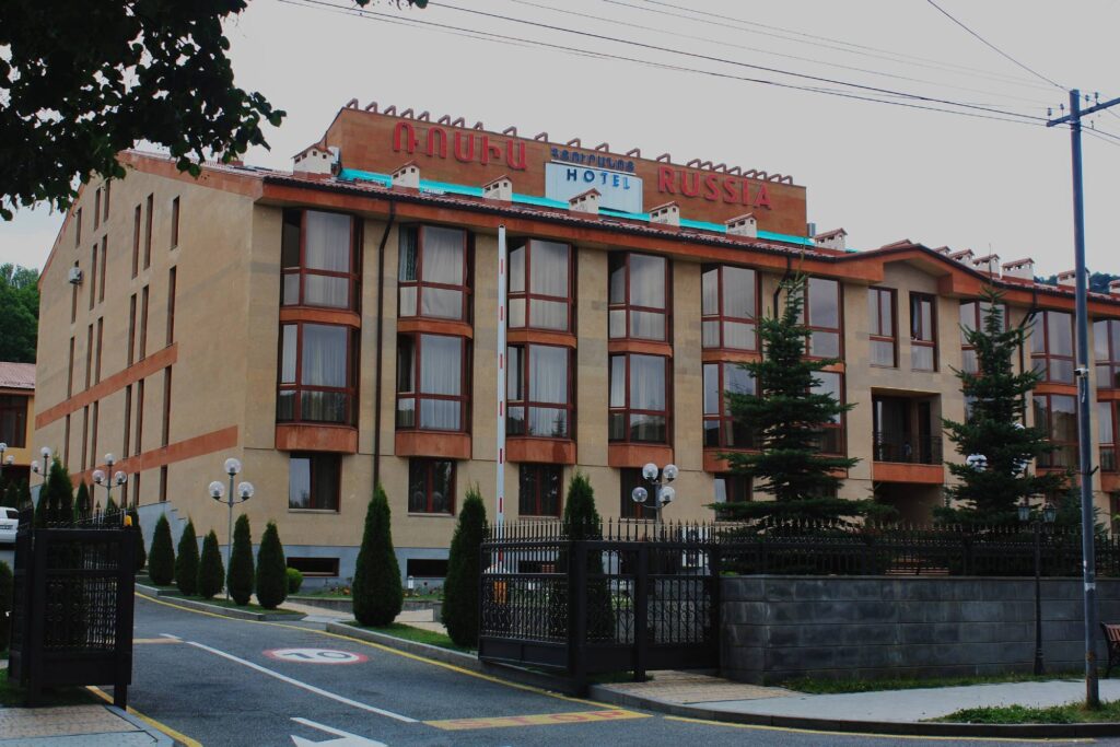
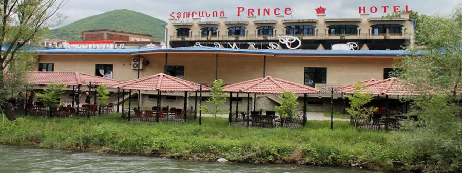
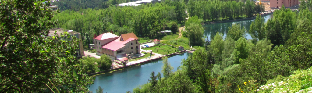
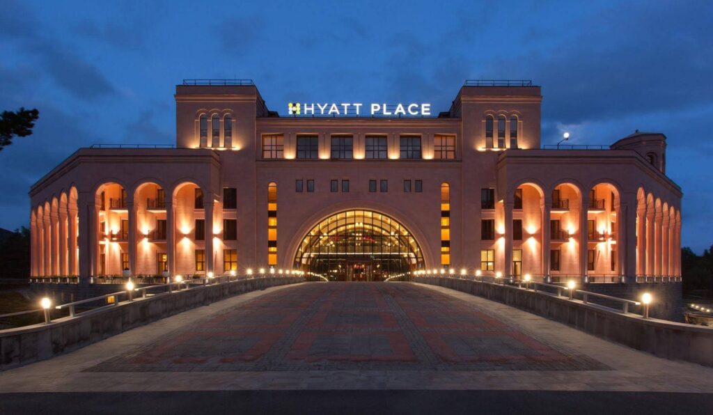
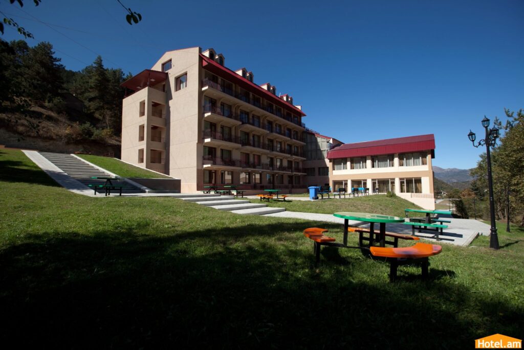
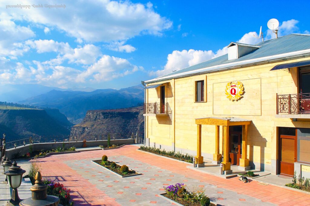
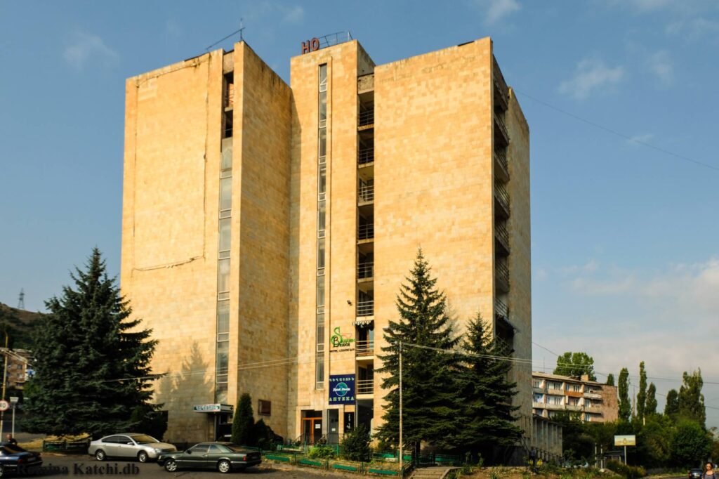
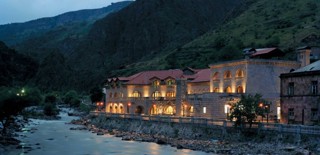
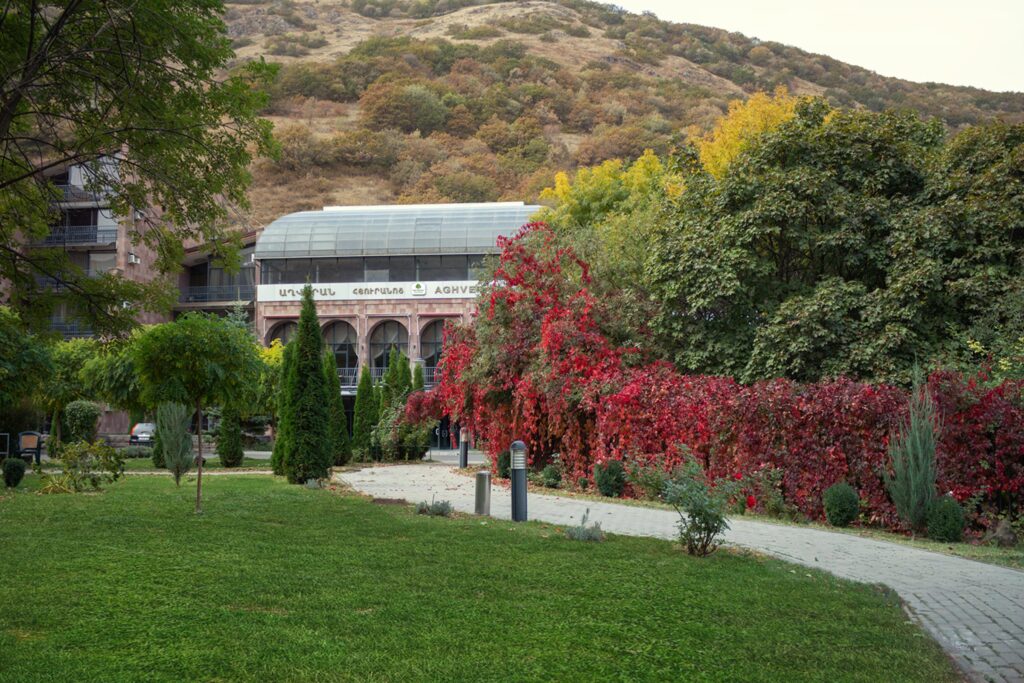
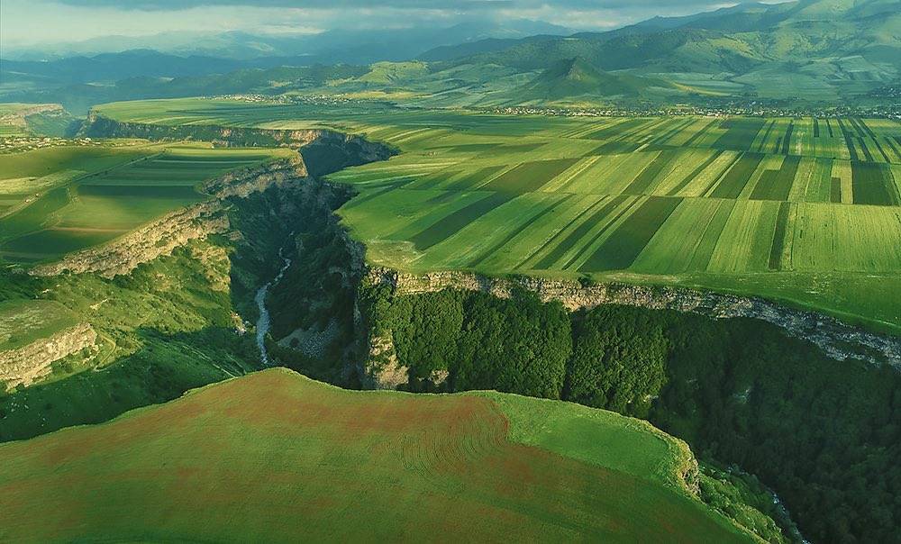
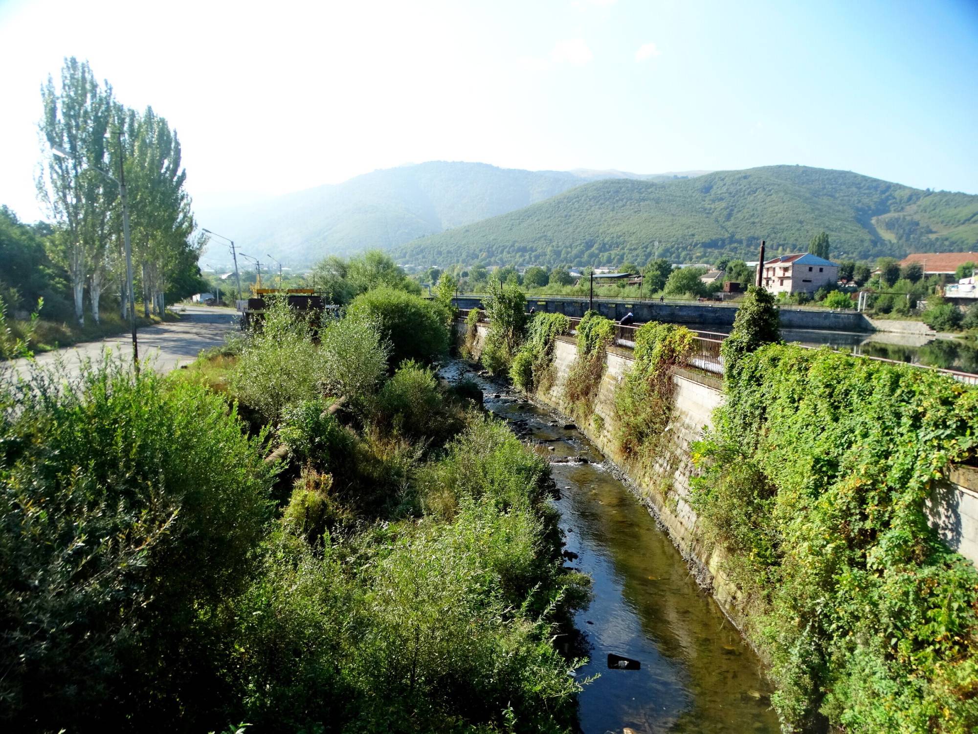
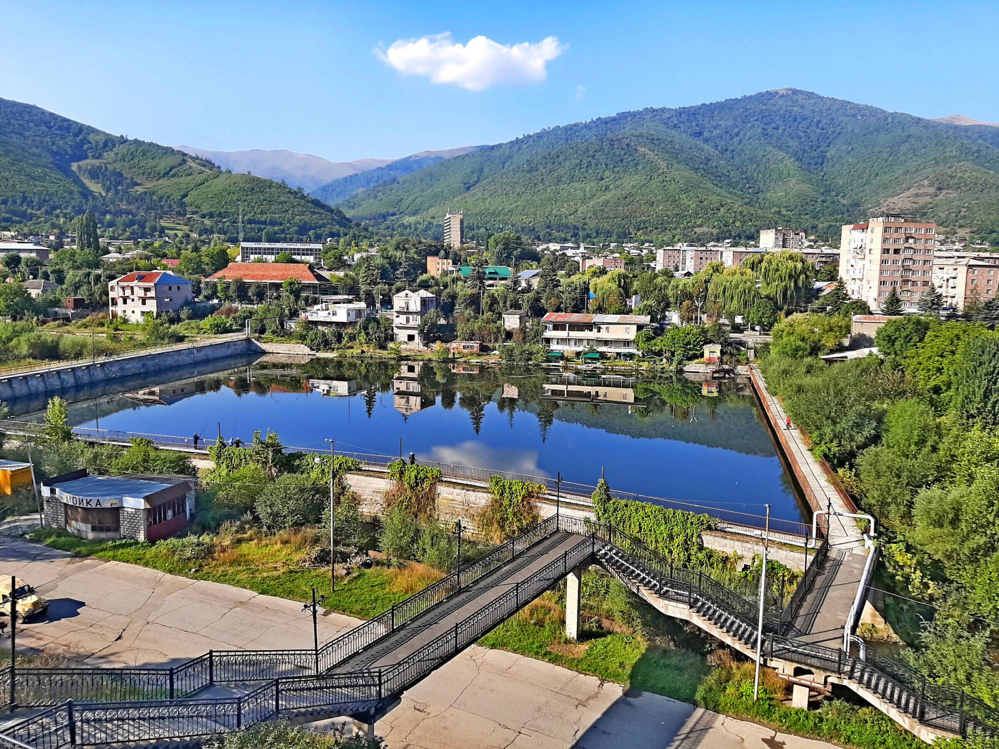
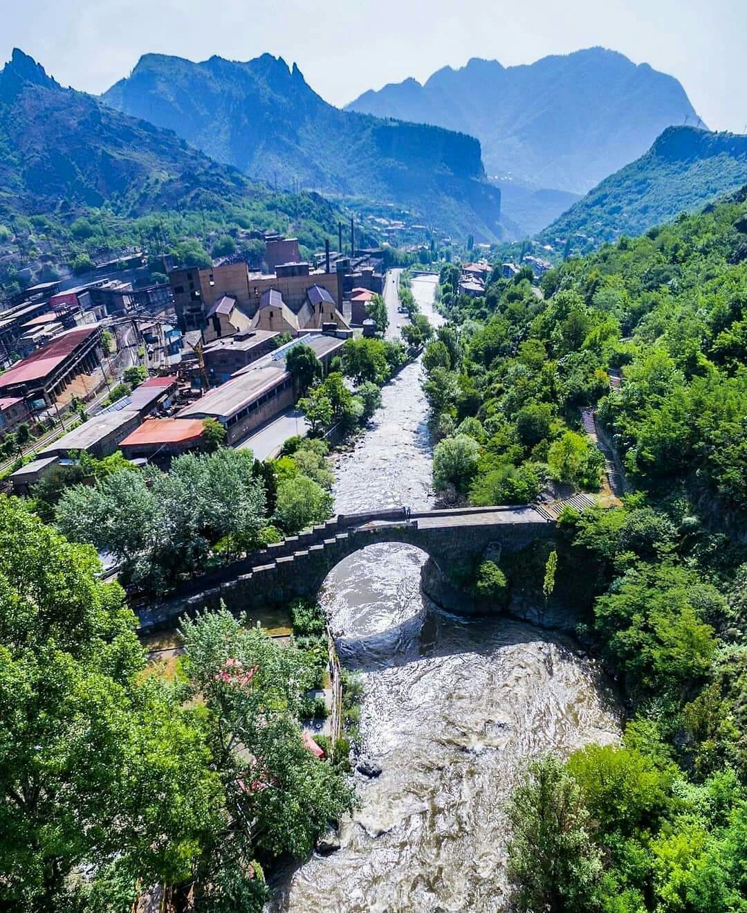
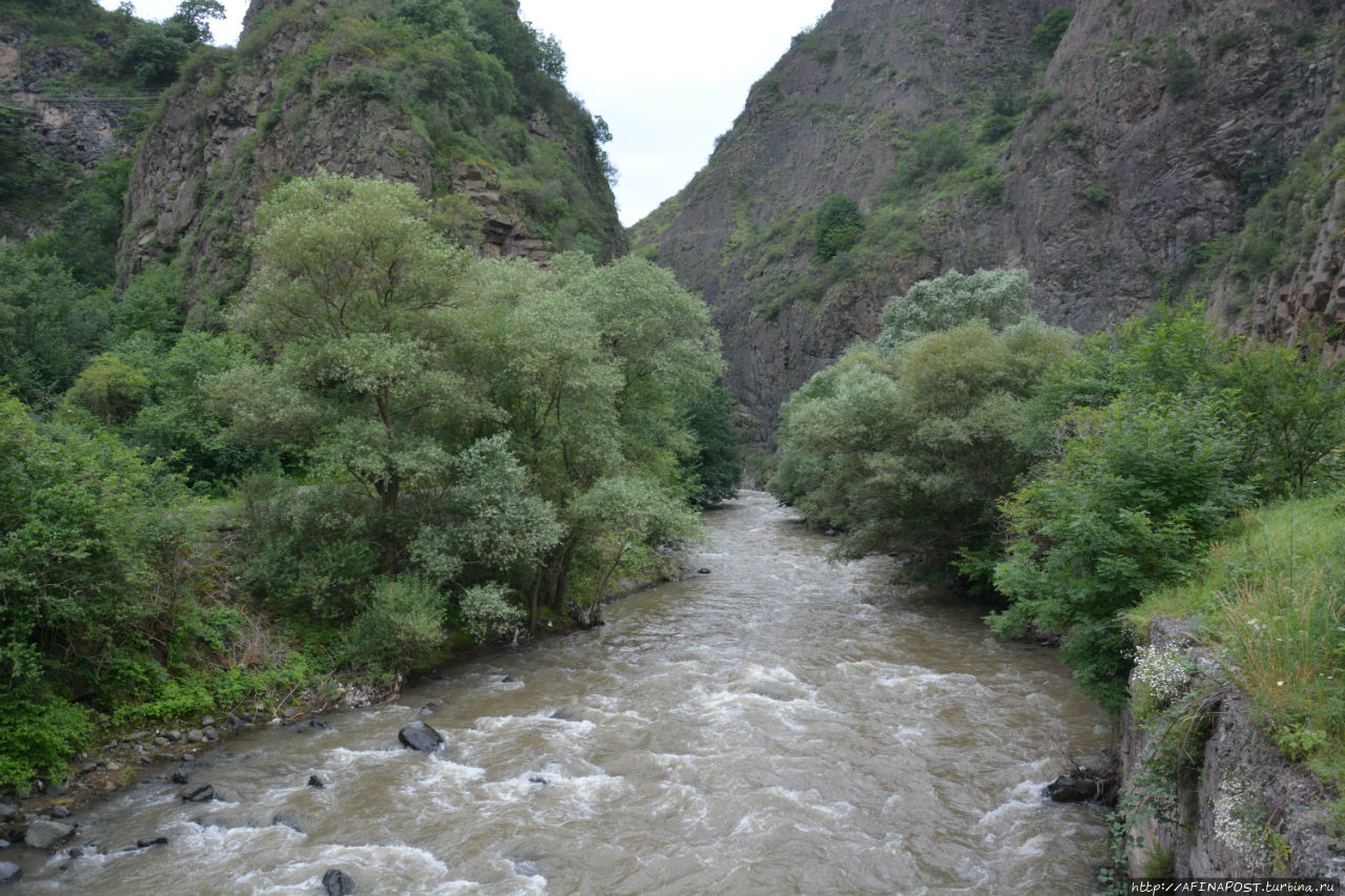
The Lori marz is situated in the north-east of Armenia, with Vanadzor as center. Pambak, Dzoraget, Aghstev and Debed rivers flow across the territory of the Marz. It is rich in fruit, forests, fertile fields, lakes and cool springs. The climate is moderate. The Lori-Pambak mountain chain prevents the flow of the cold winds from the north.
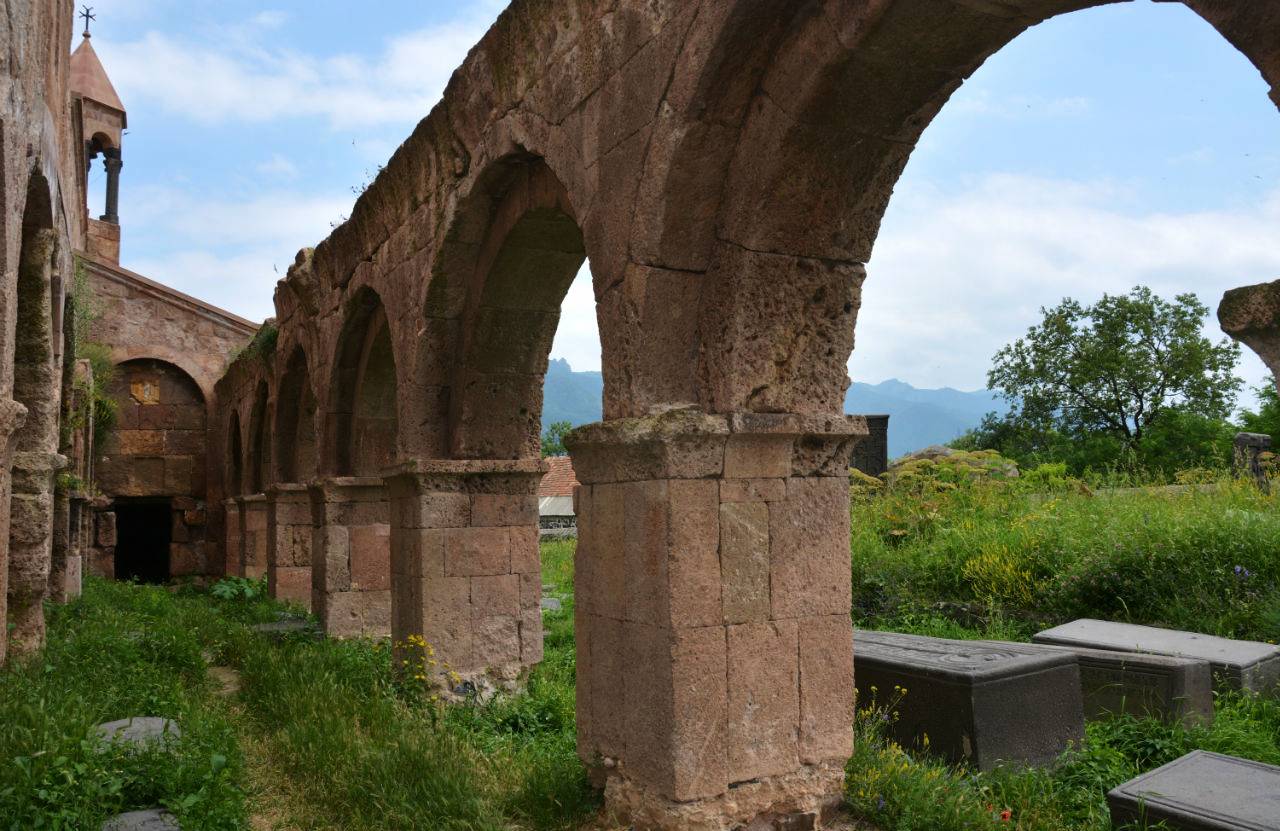
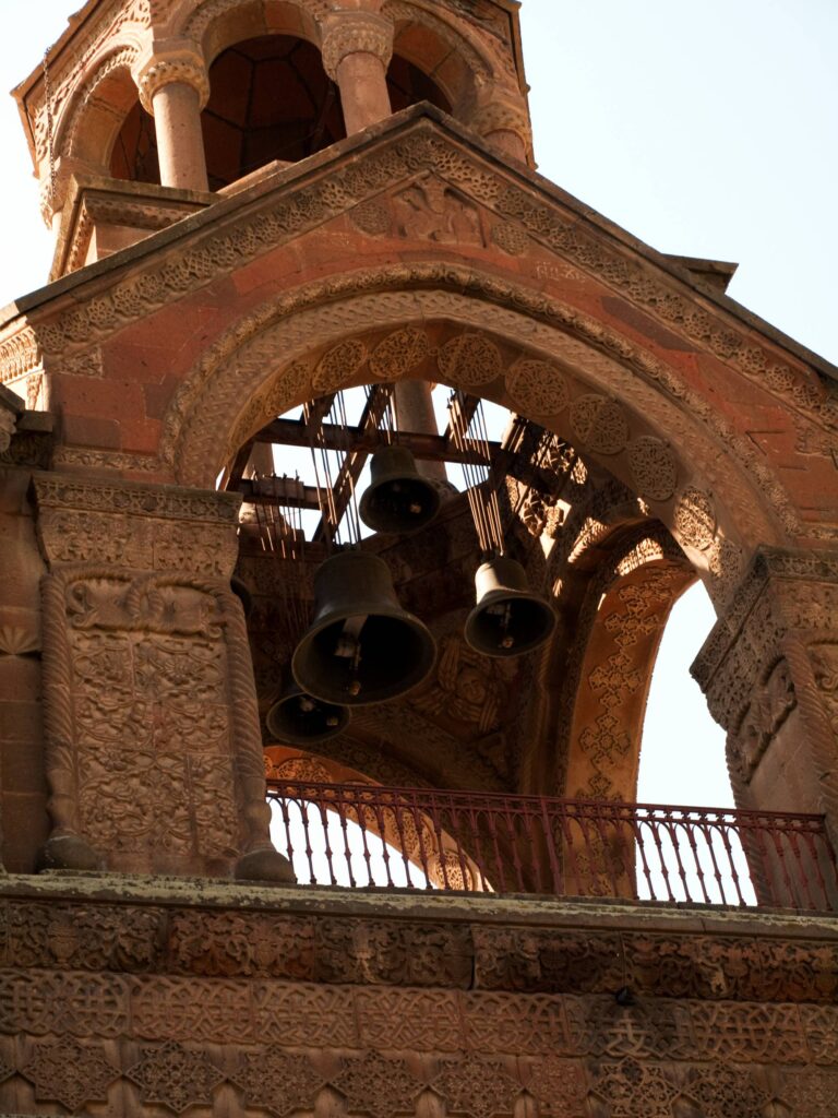
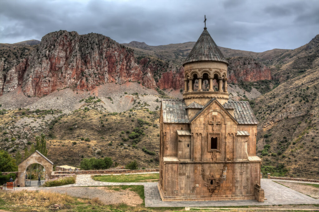
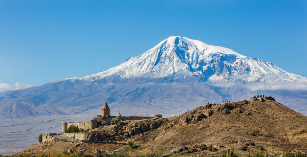
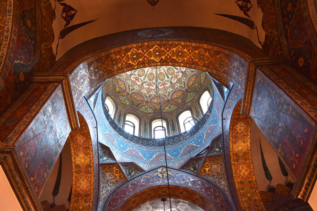
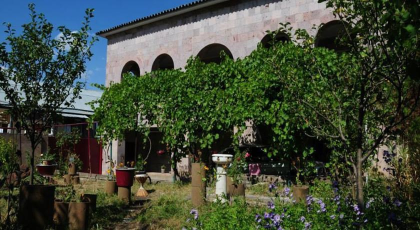
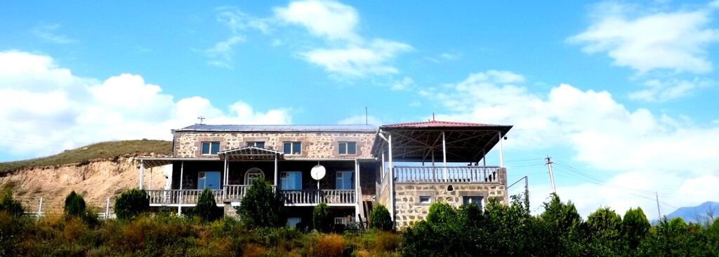
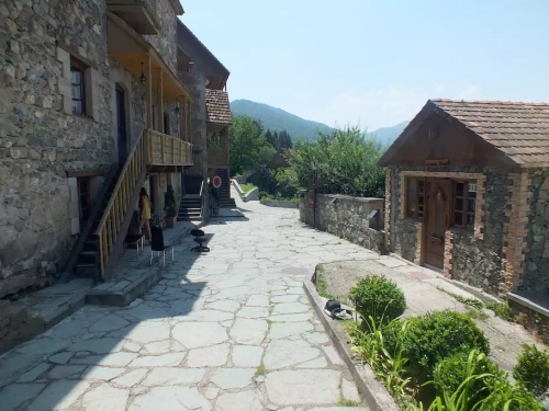
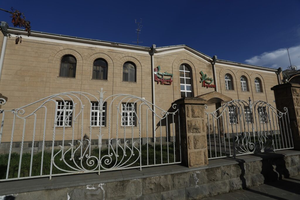
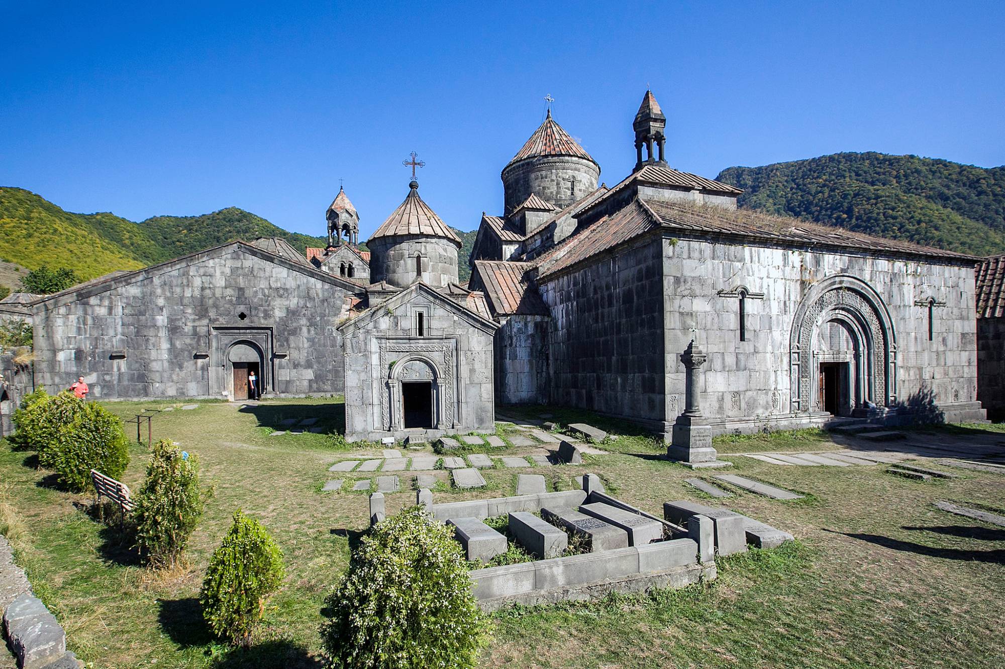
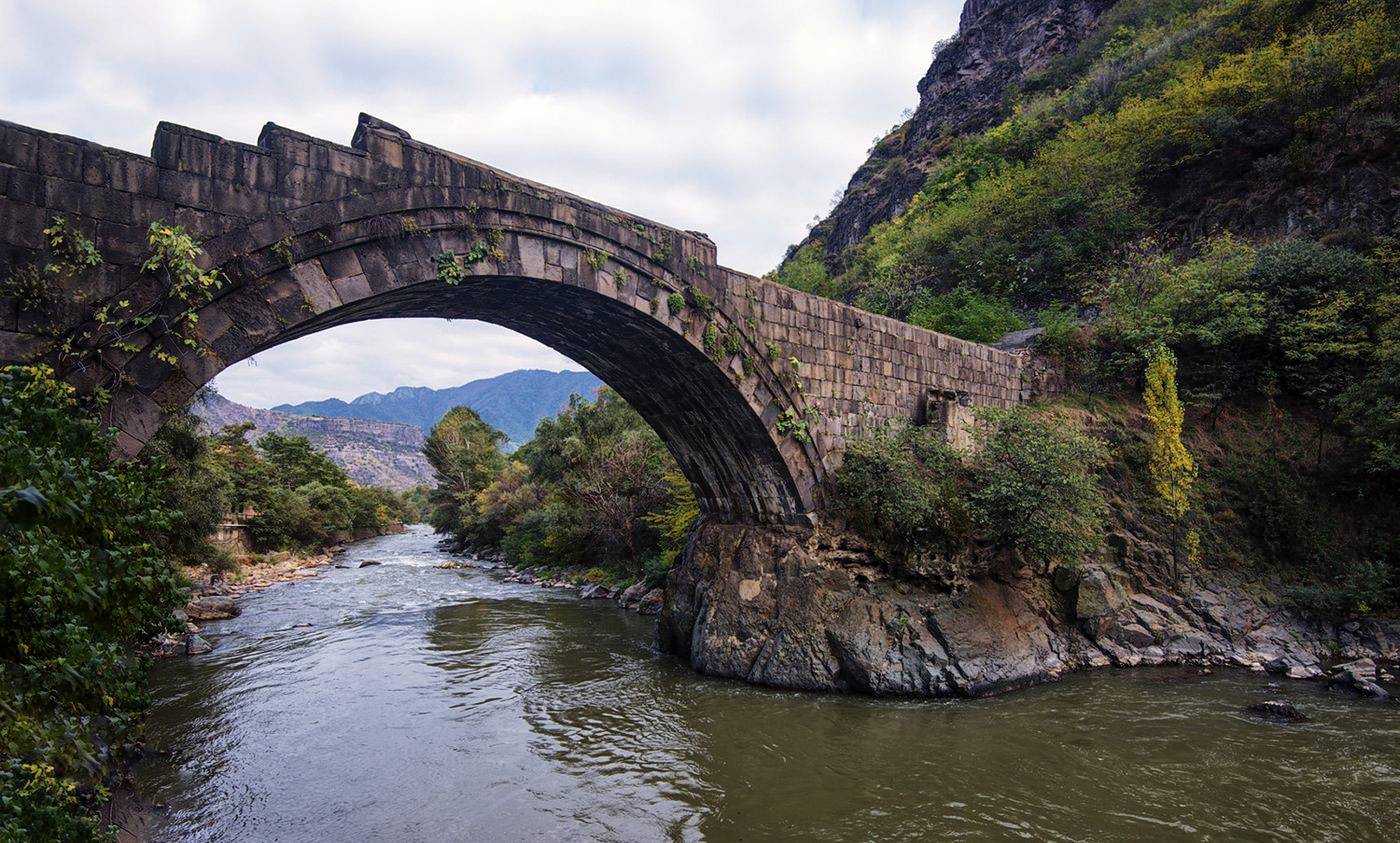
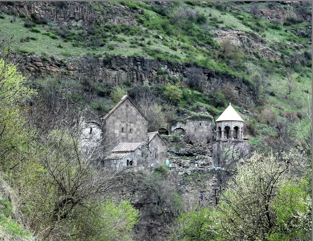
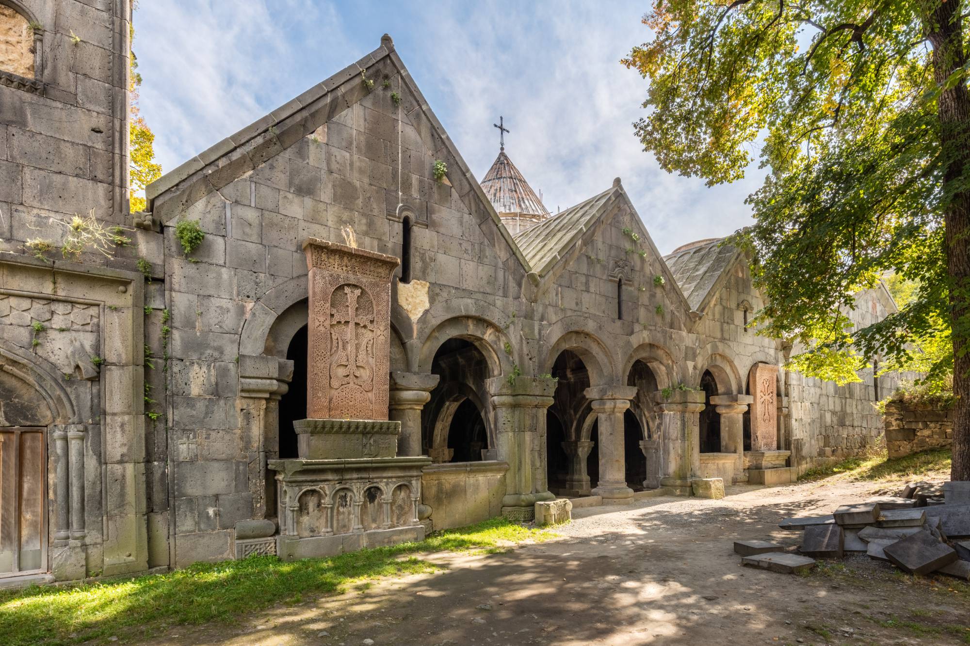
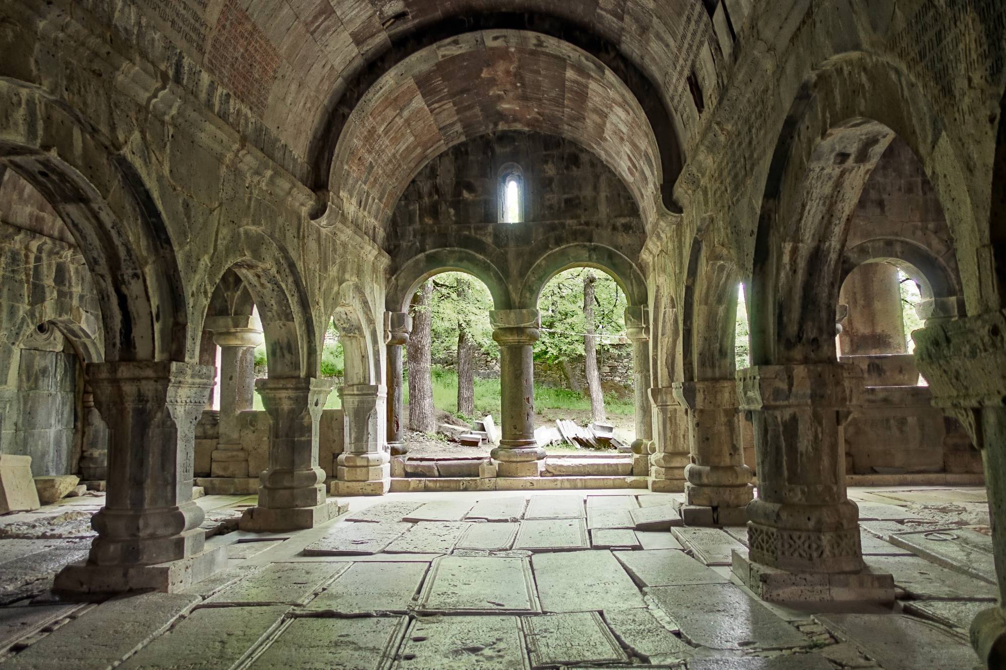
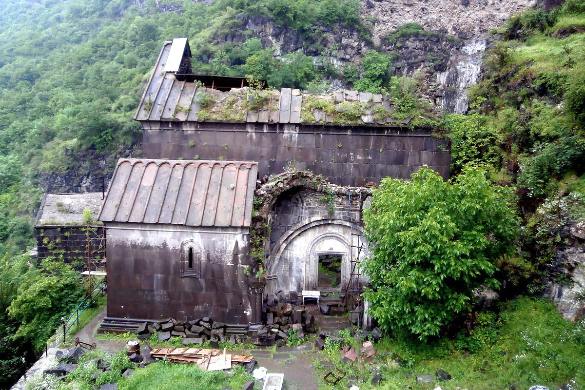
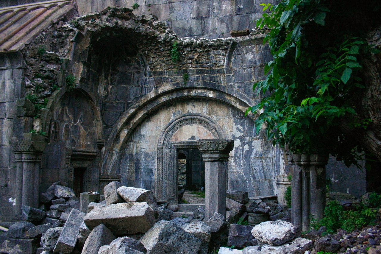
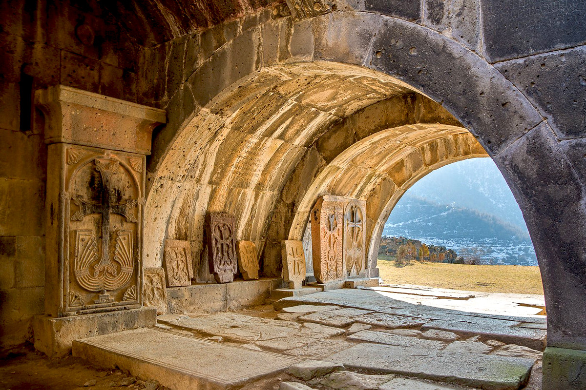
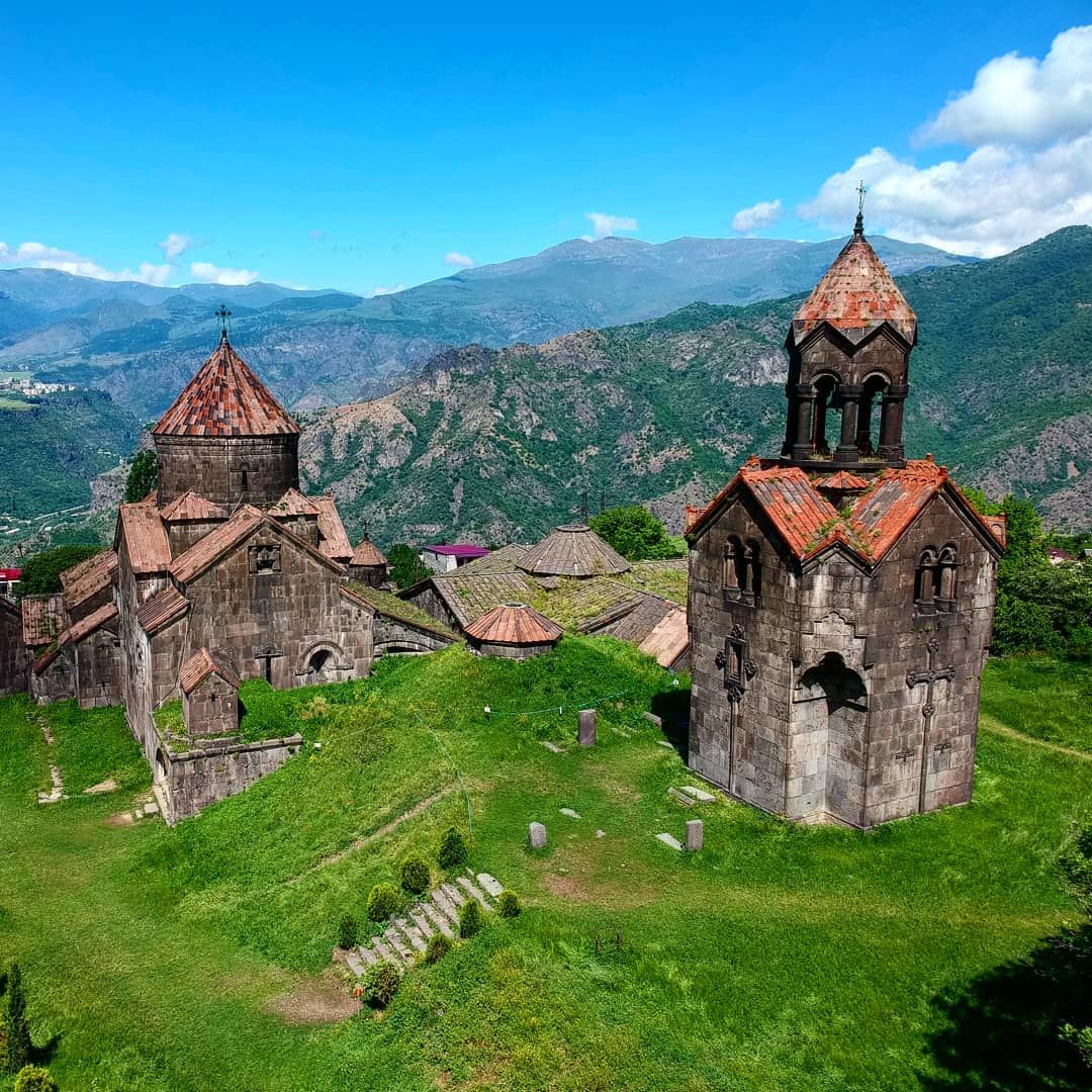
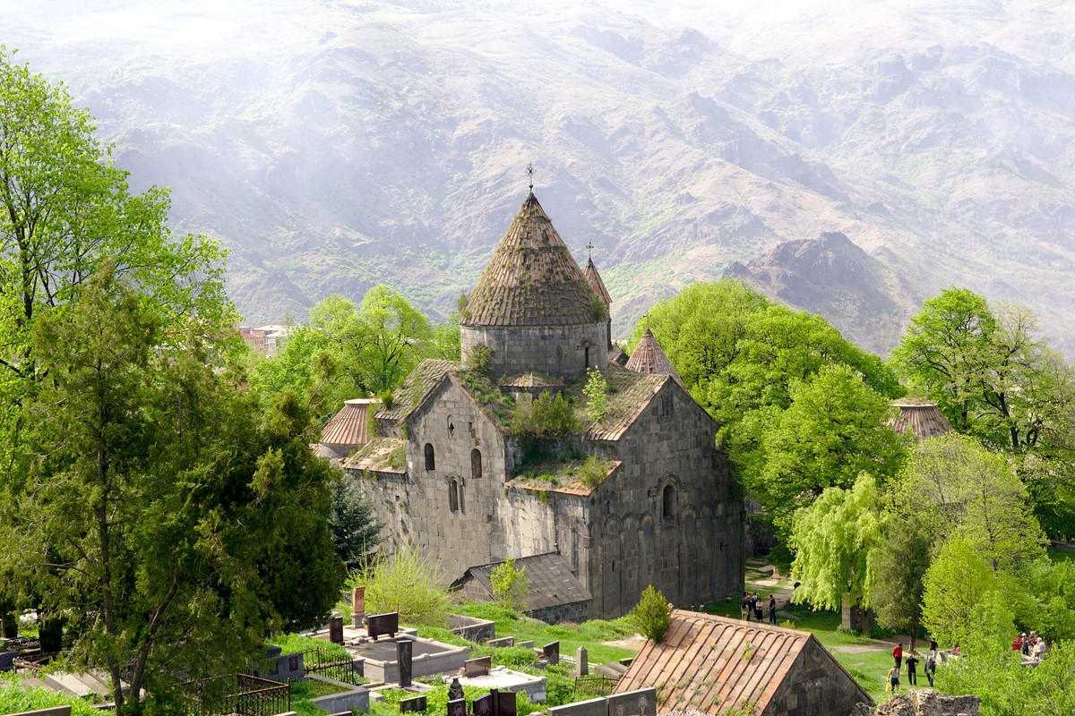
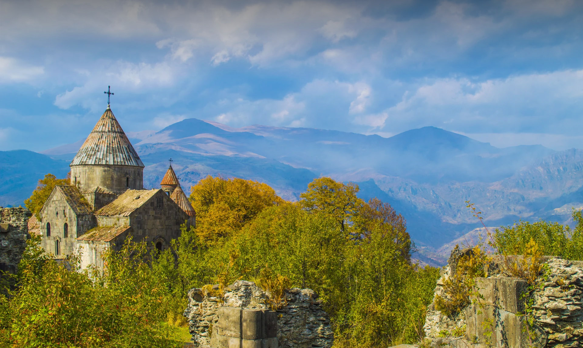
The rich cultural heritage of the marz dates back to ages. On the high upland of the town of Alaverdi, on the right bank of Debed River there is situated the village of Sanahin. The village is connected with the main roads by 1192 bridge, the oldest engineering construction preserved to the present day. The Sanahin monastery complex, built in the X-XIII cc. is on the territory of the village. It is considered to be one of the most interesting architectural solutions. Describing Sanahin is not an easy task; one must see it. The monastery complex of Haghpat, X-XIII cc., is on the distance of 5 km from Sanahin. Both complexes used to have their libraries, scriptoriums, schools and refectories. Both monasteries are inscribed by UNESCO on the World Heritage list in 1996.
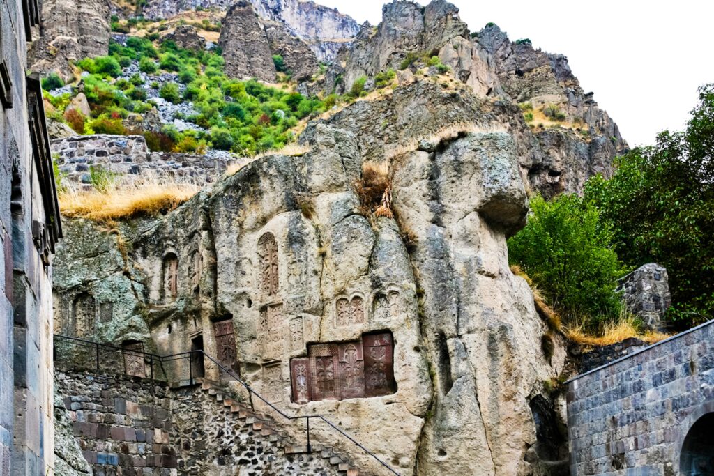
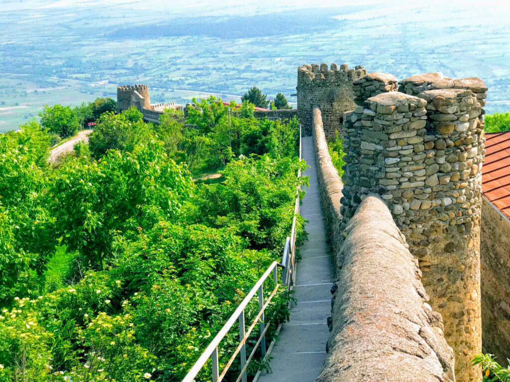
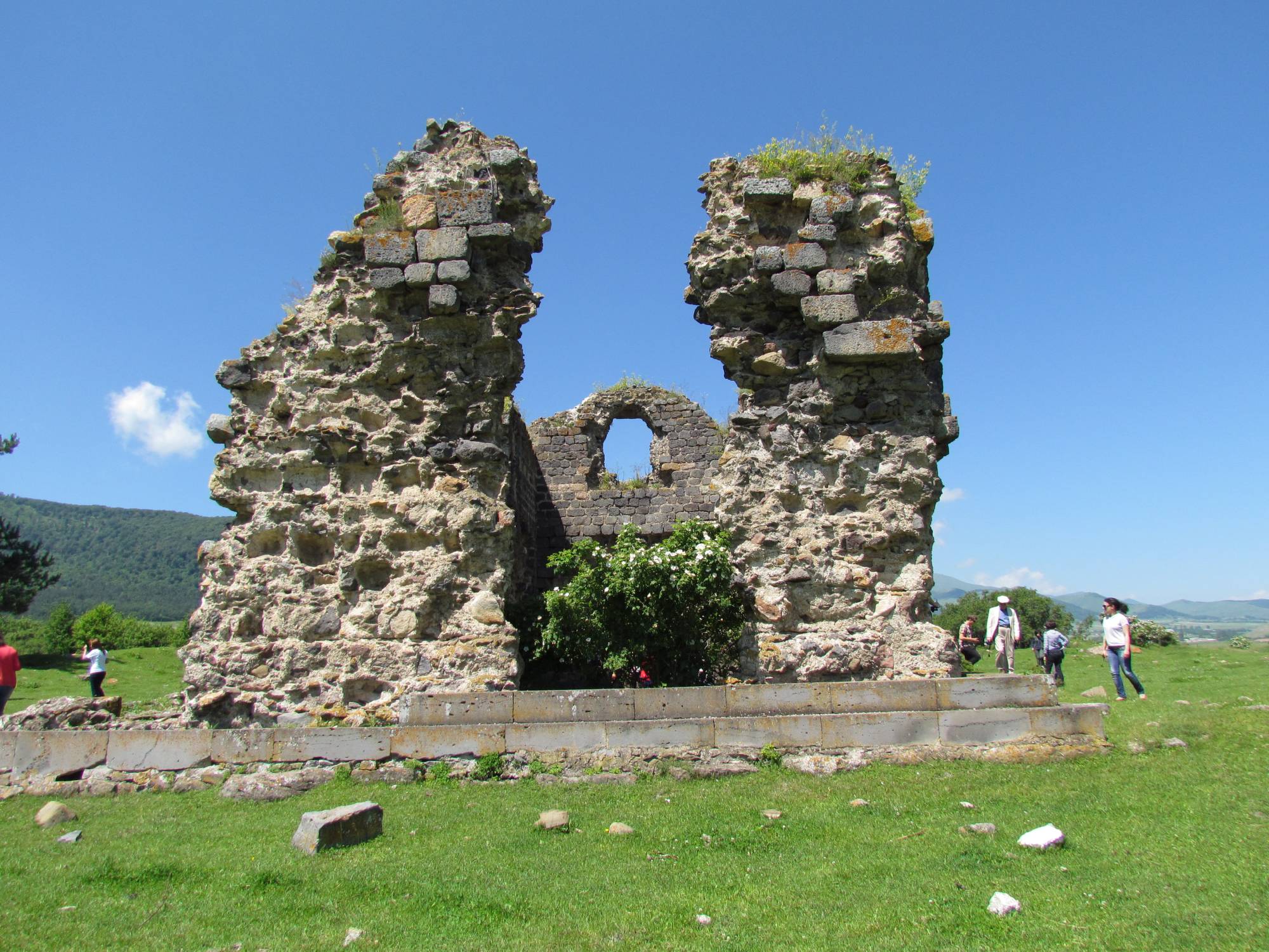
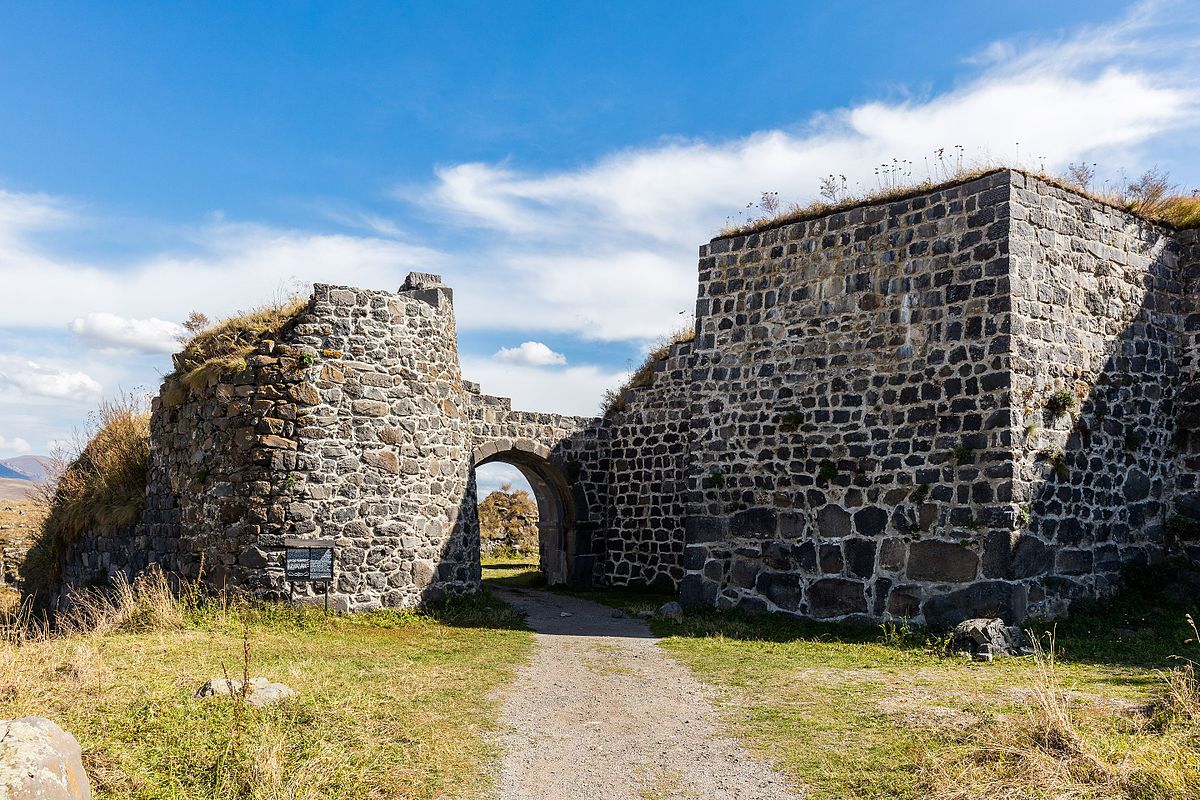
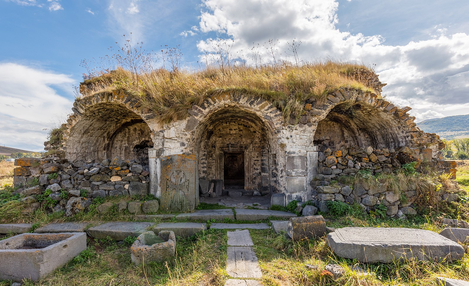
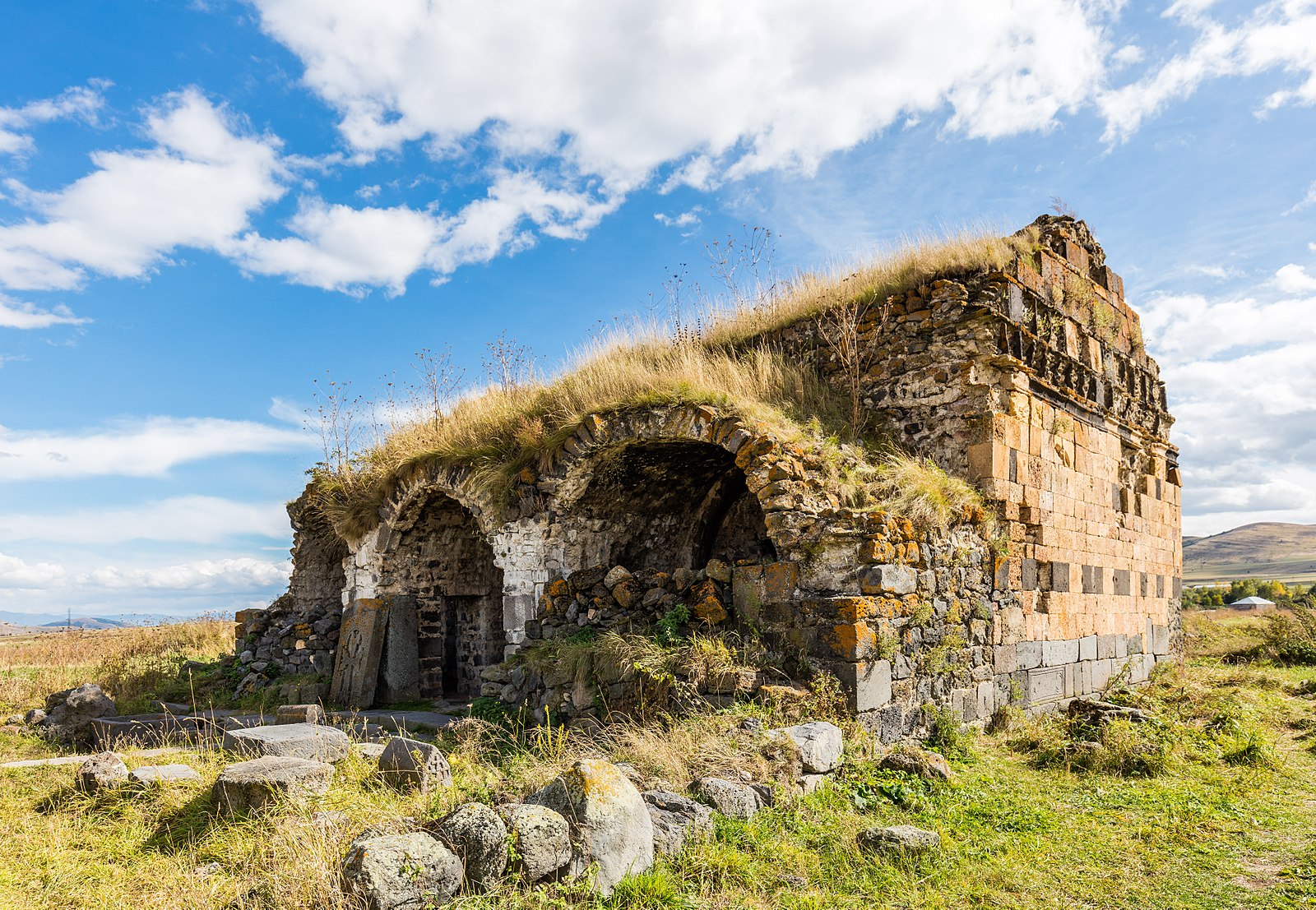
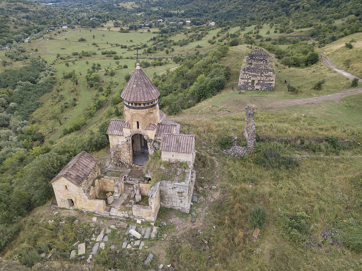
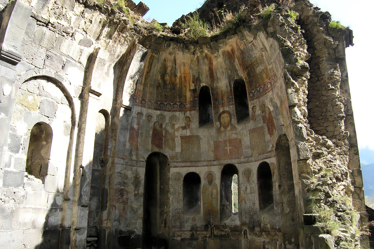
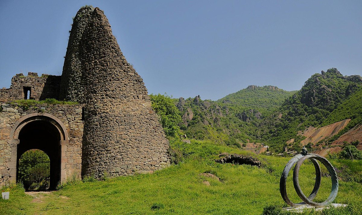
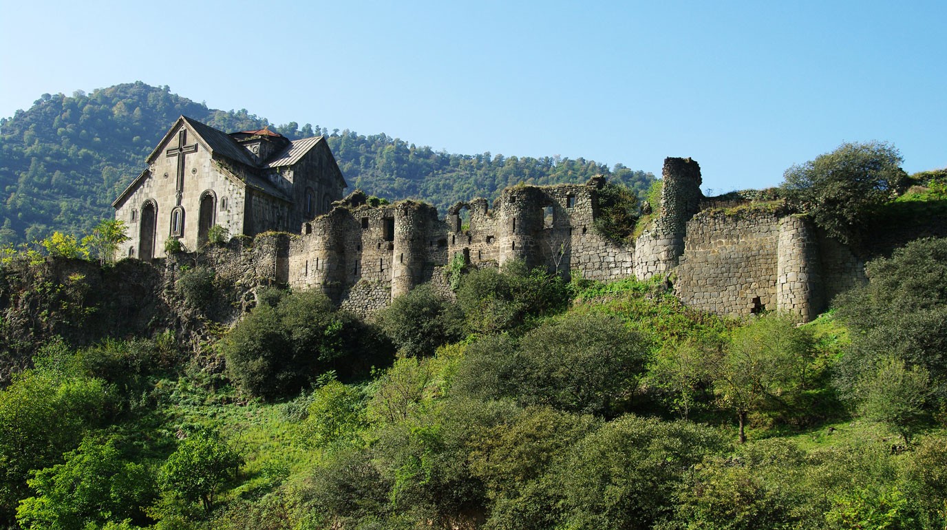
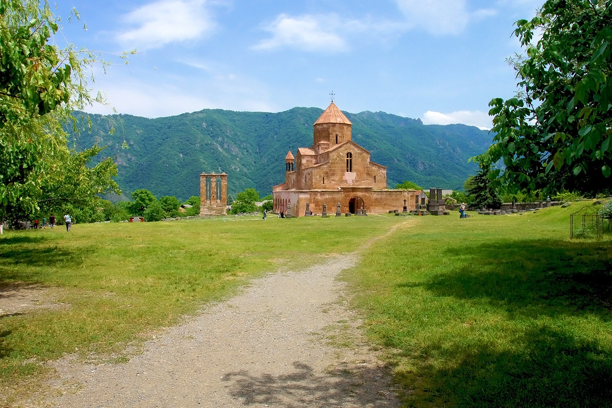
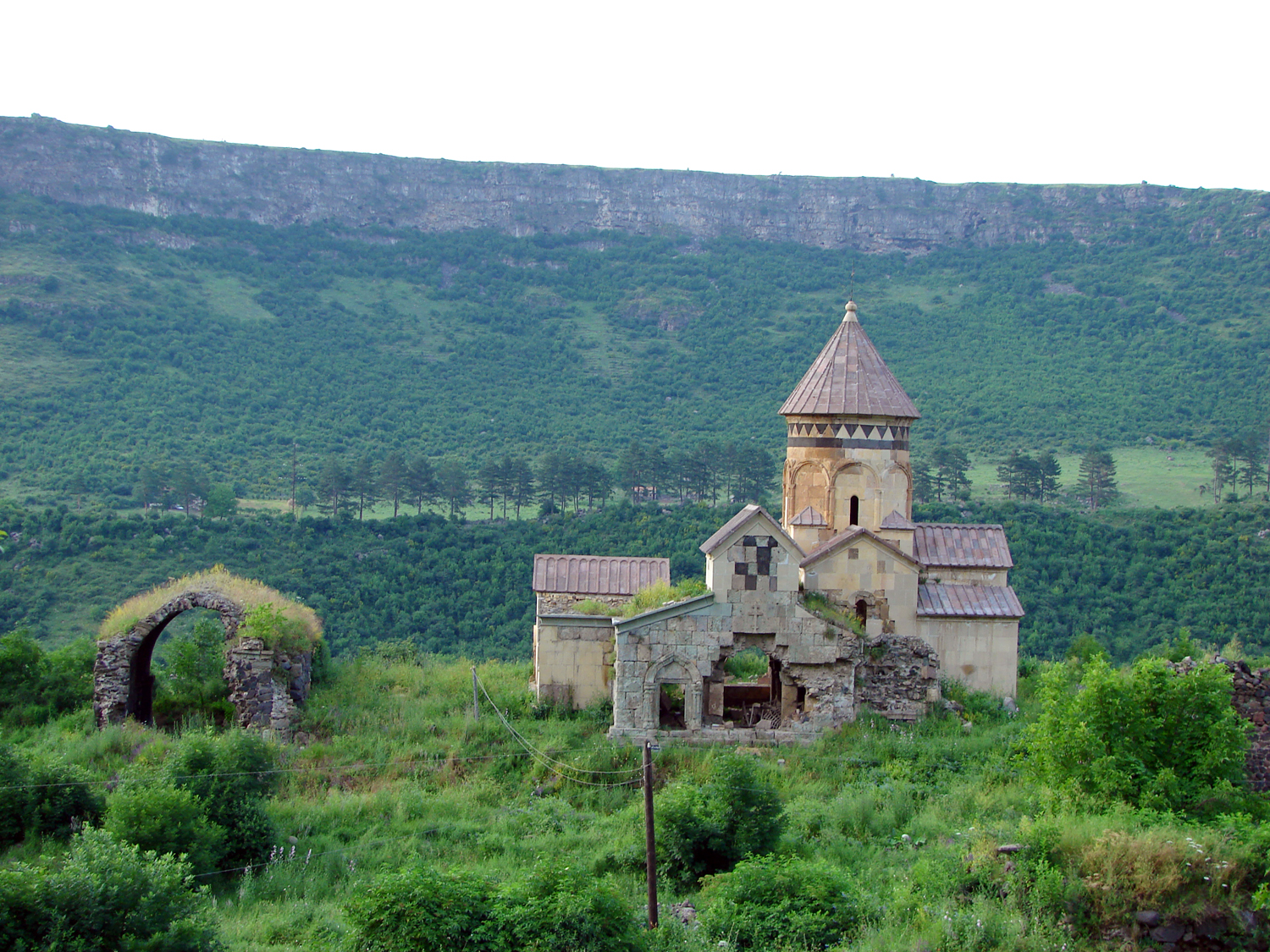
In the south of Alaverdi, on the upland you will find the famous Cathedral of Odzun, VI-VII cc. In the woods of Lori you can everywhere see the traces of ancient settlements and fortresses, monastery complexes and churches, You can’t stand admiring the monuments of Akhtala (X-XIII cc.) Kobayr (XIIIc.) with their frescos, Hnevank (XII-XIII cc.), a number of Catholic churches and citadels. The Lori fortress is a brilliant sample of Armenian architecture.


