


Territory: 2753 km²
Agricultural land: 136667 ha
Including arable land: 55771 ha
Population: 129.800 (as of 2016)
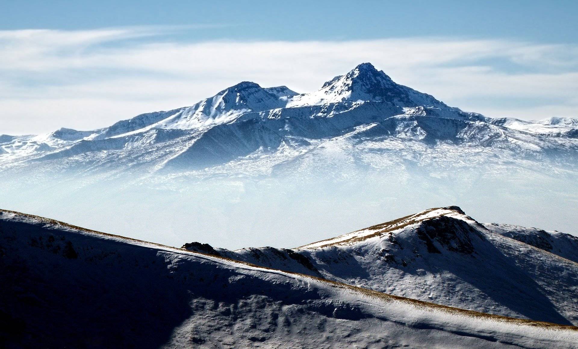
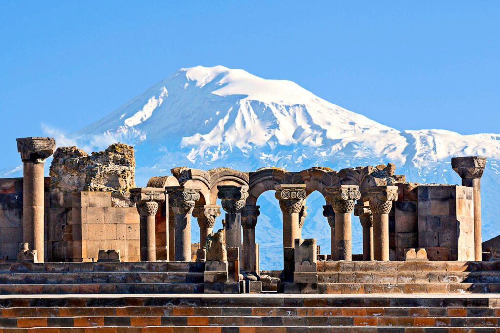
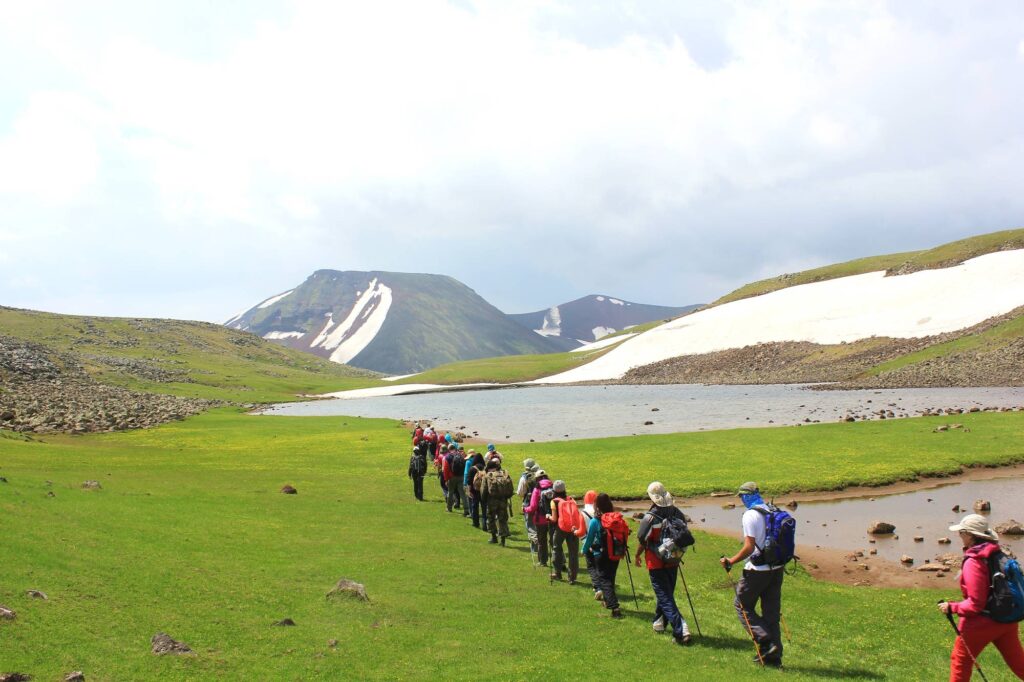
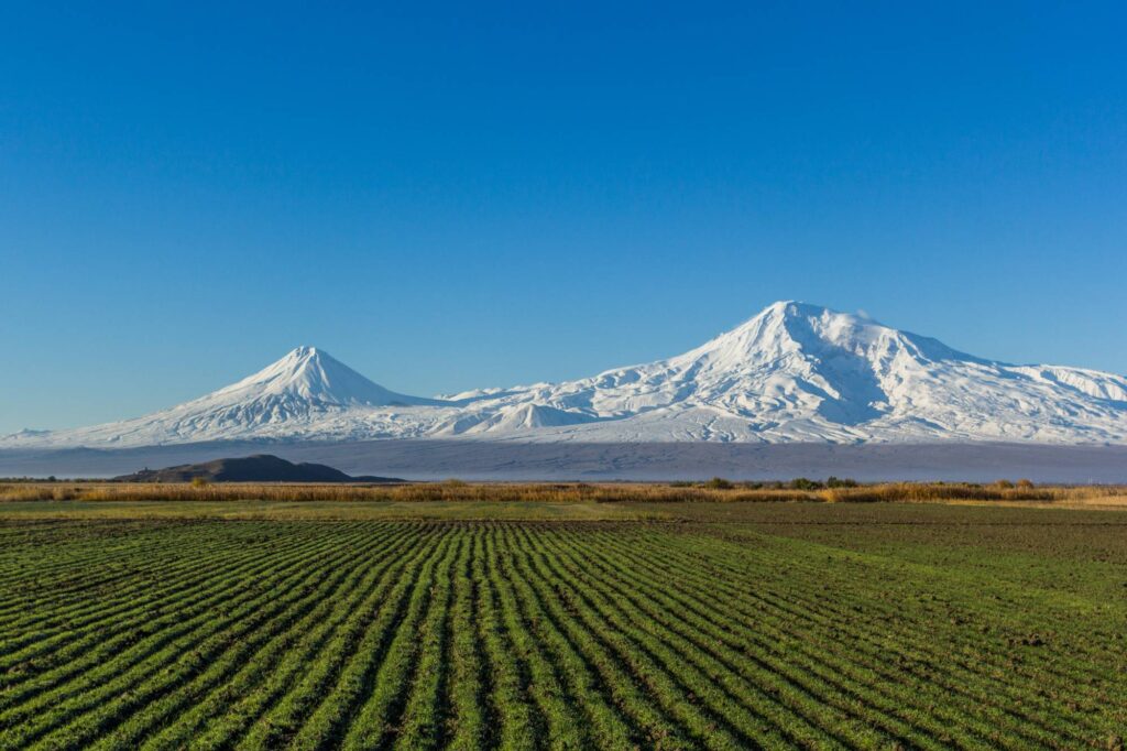
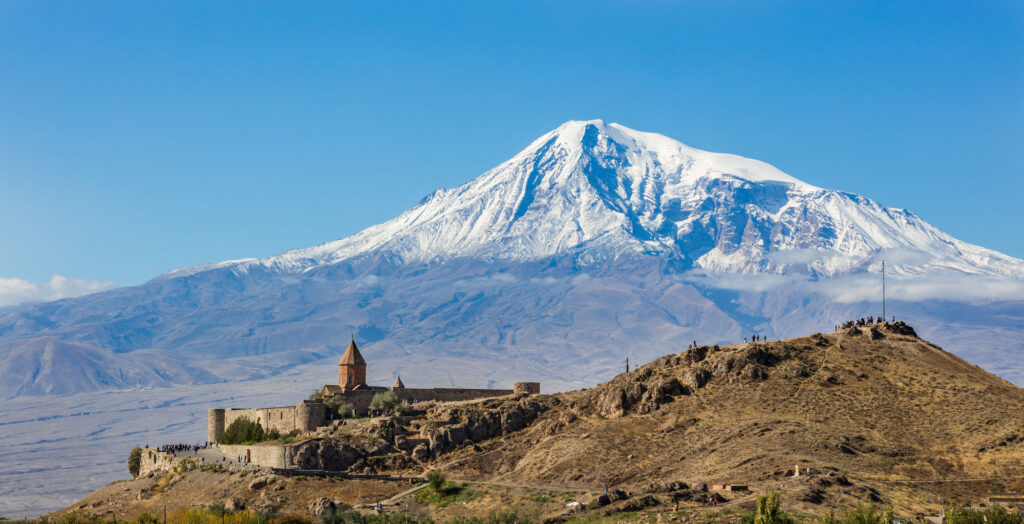
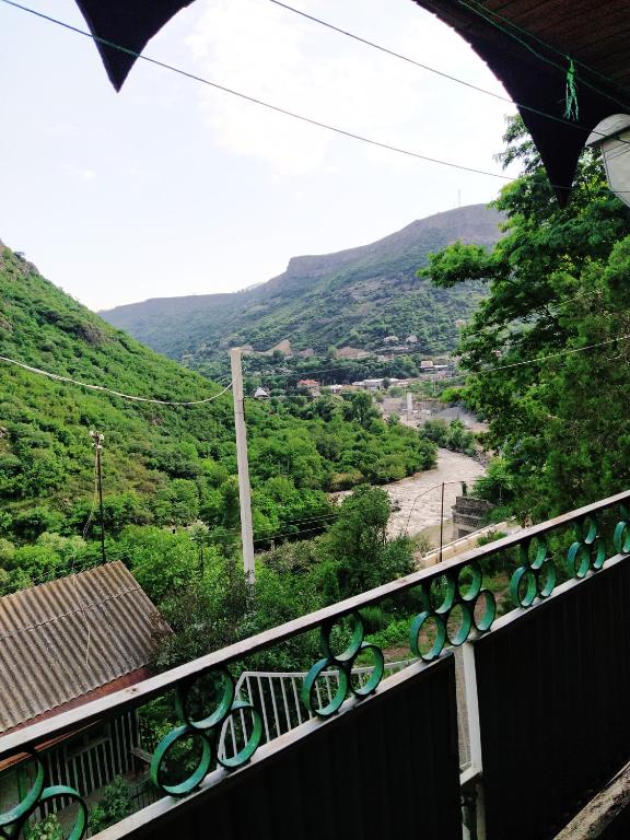
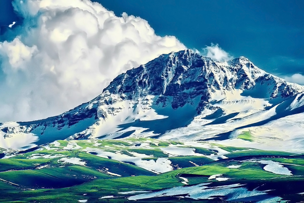
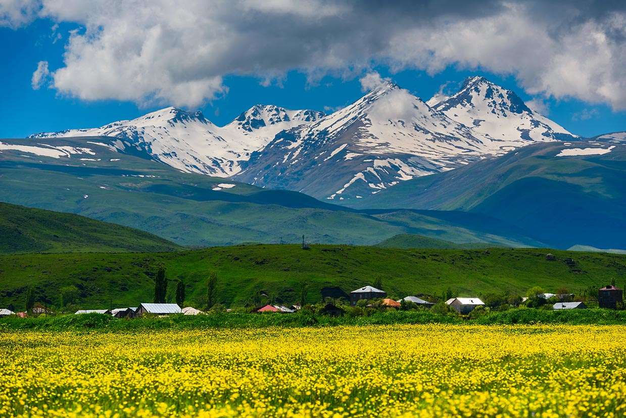
The Marz of Aragatsotn is located in the West of the Republic of Armenia, on the slopes of Aragats Mountain (4096 m above the sea level). Aragats has always attracted the attention of the travelers, tourists and geologists. The slopes of the mountains are covered by traces of civilization.
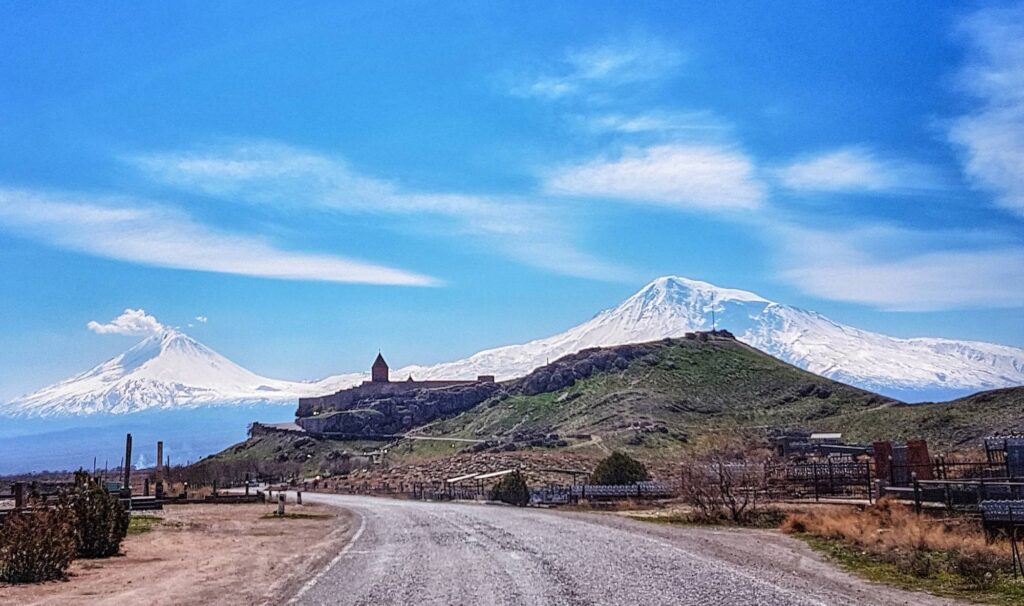
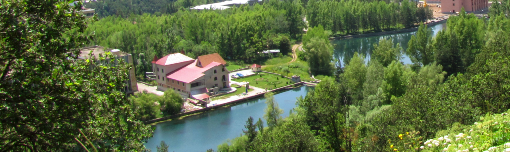
The marz is famous for its picturesque sites. Kasakh, Amberd, Geghagor and other small rivers flow through the territory of the marz.
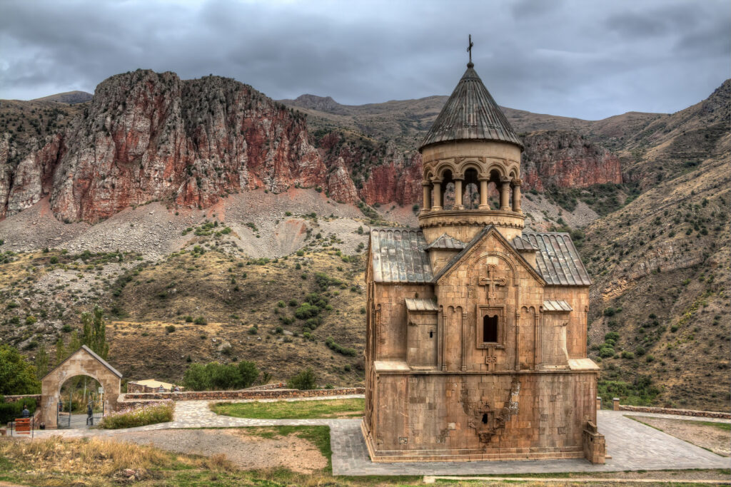
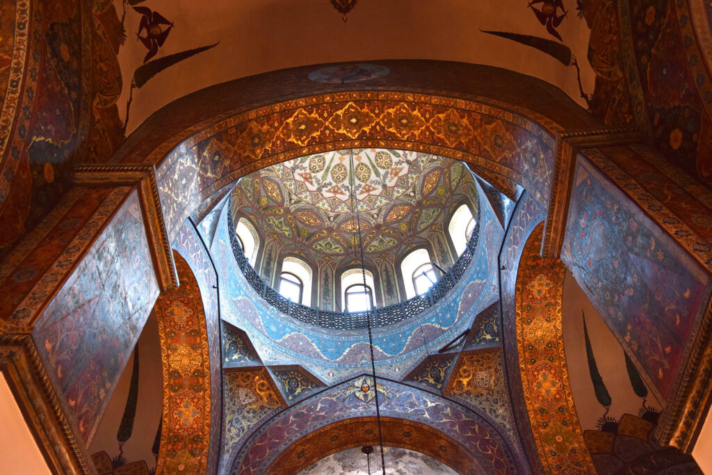
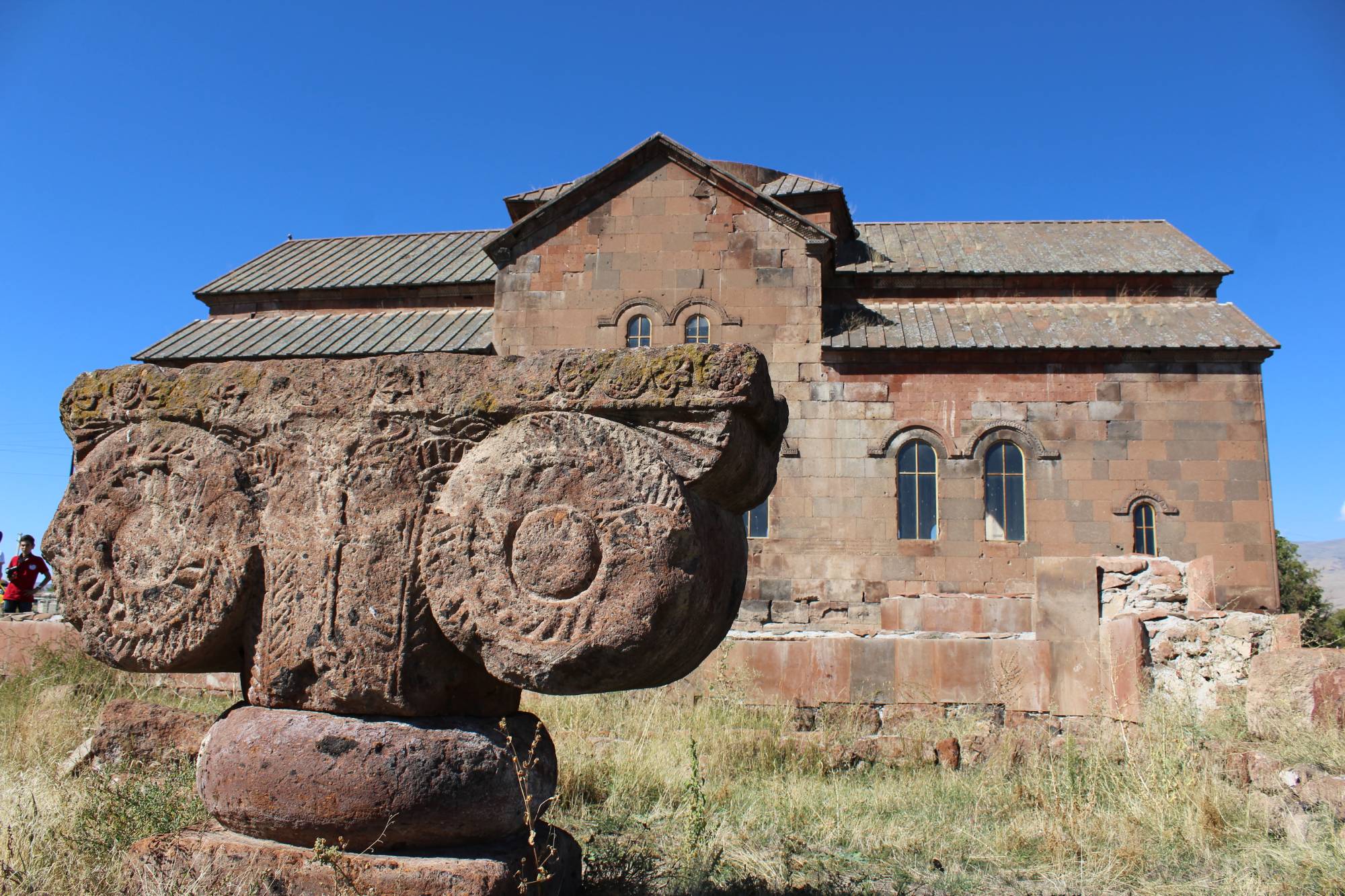
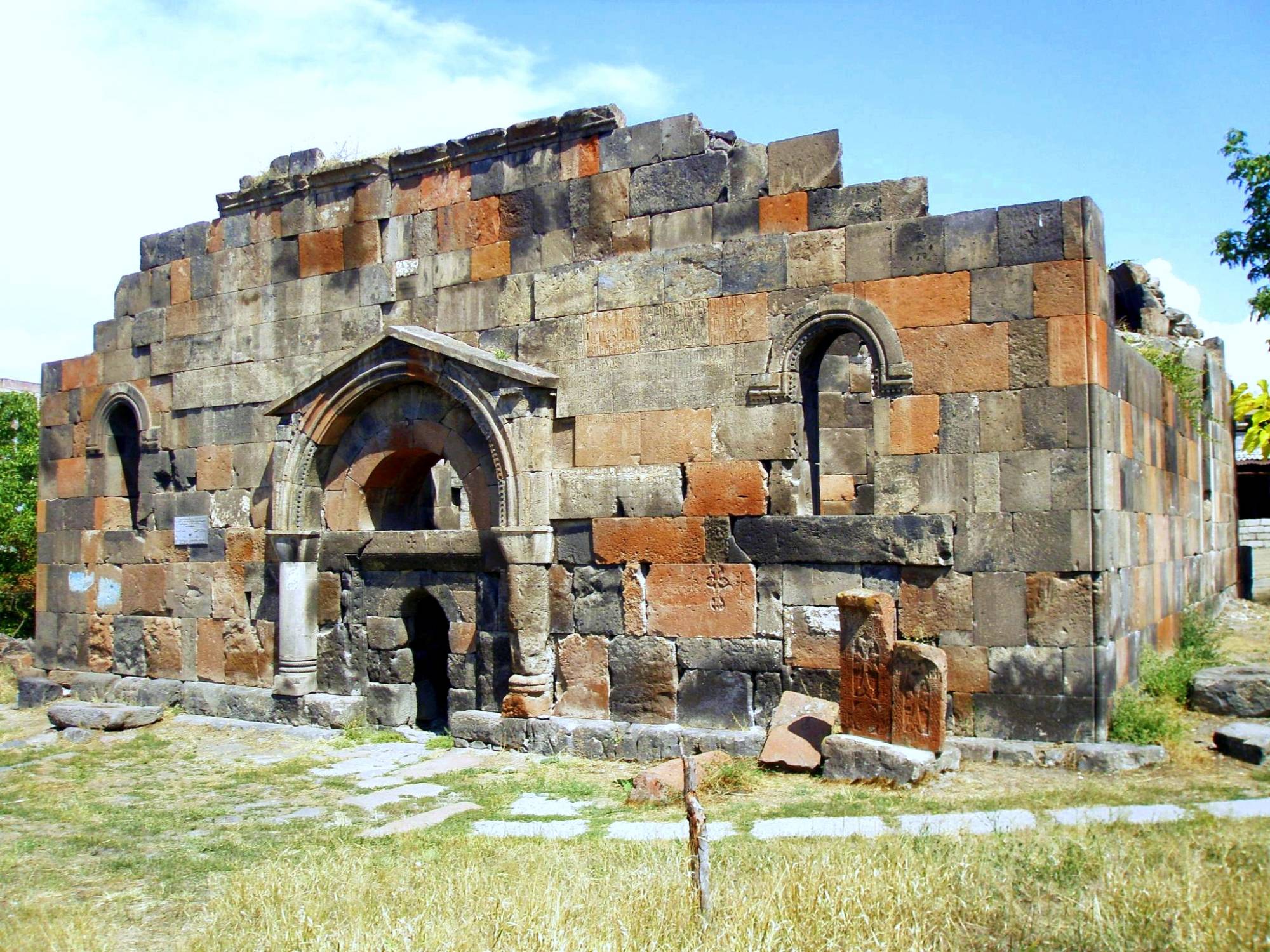
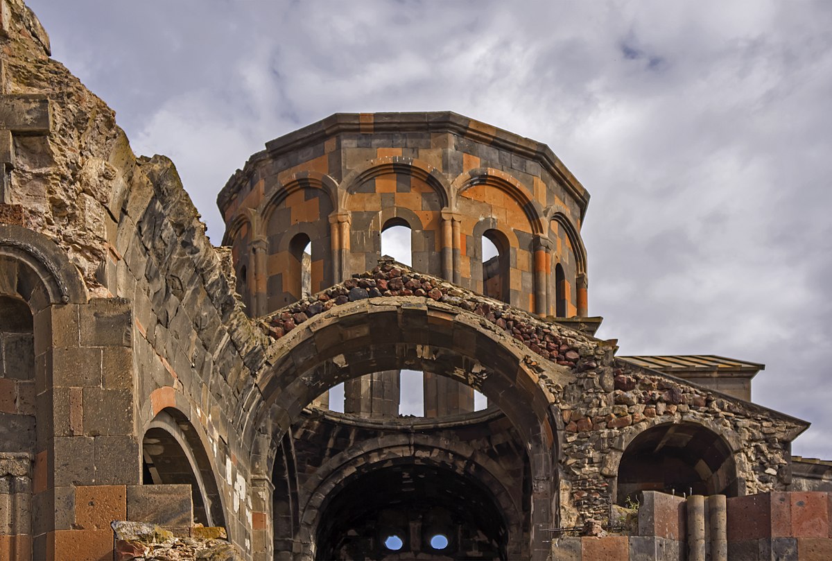
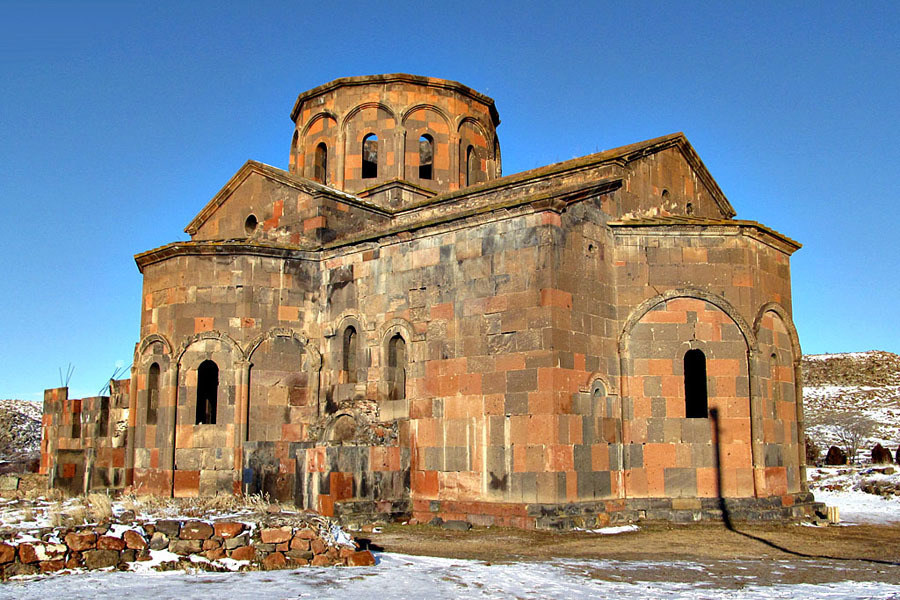
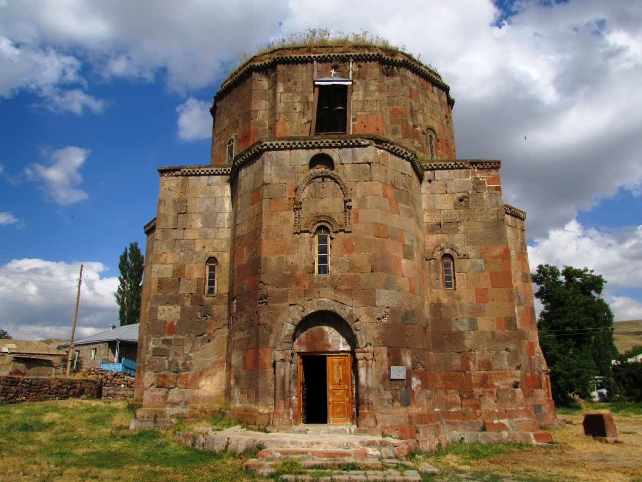
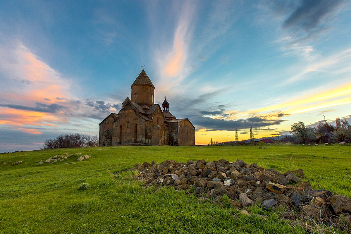
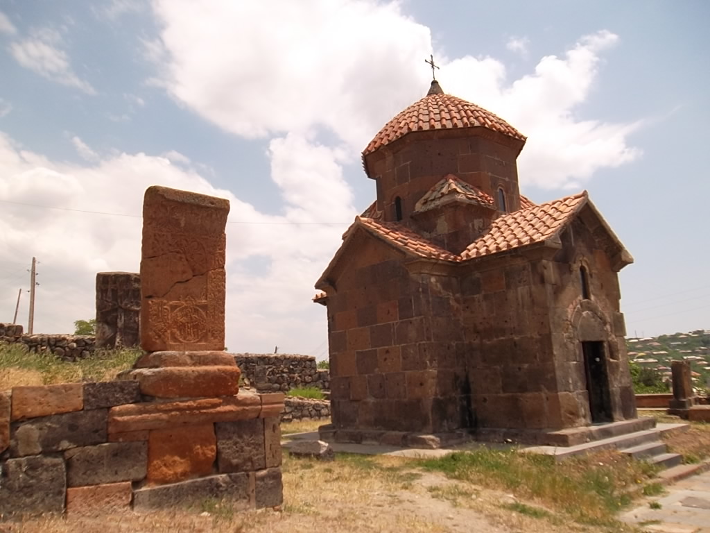
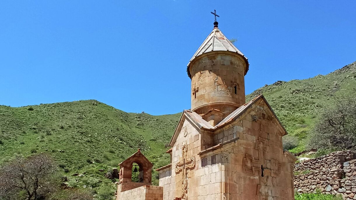
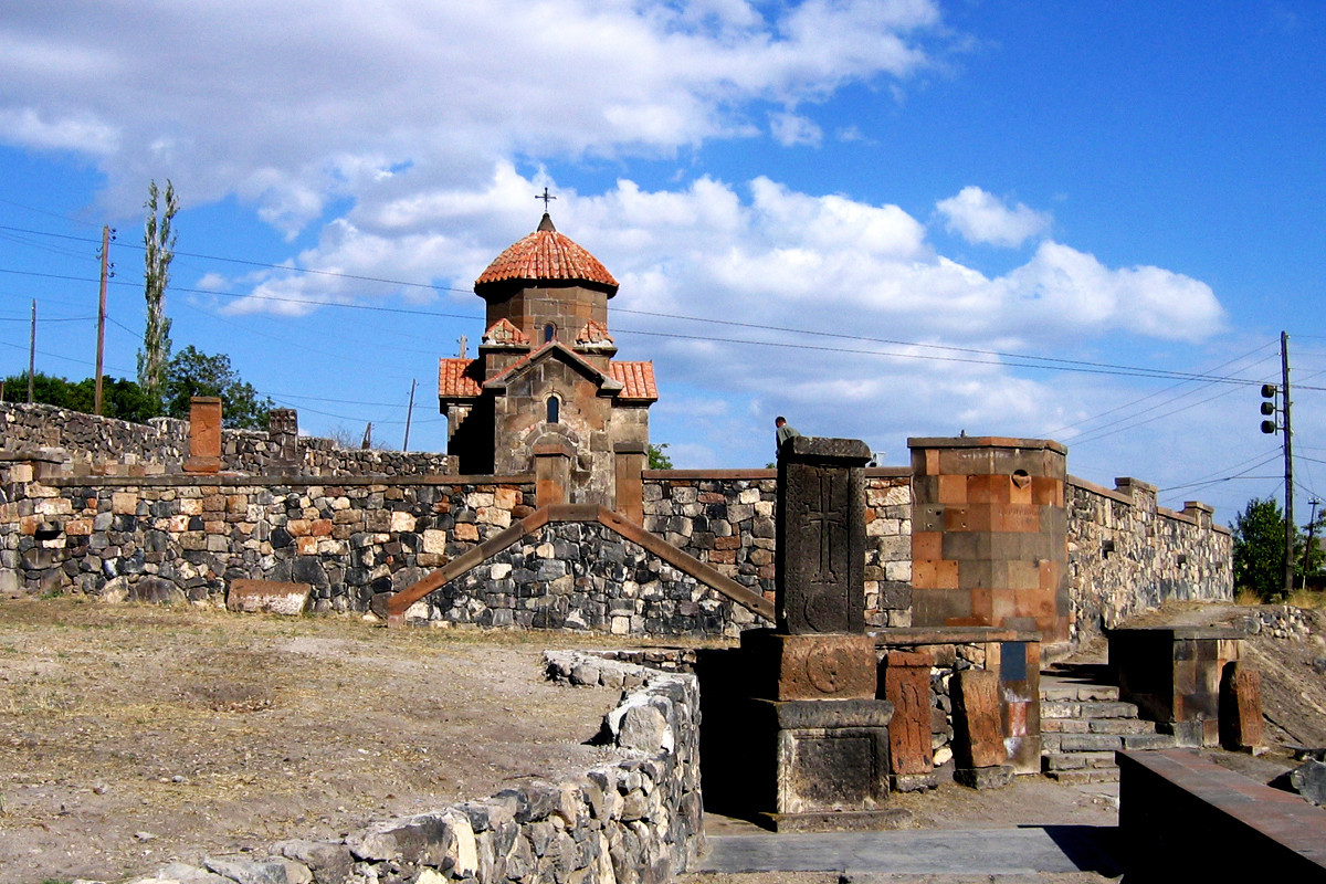
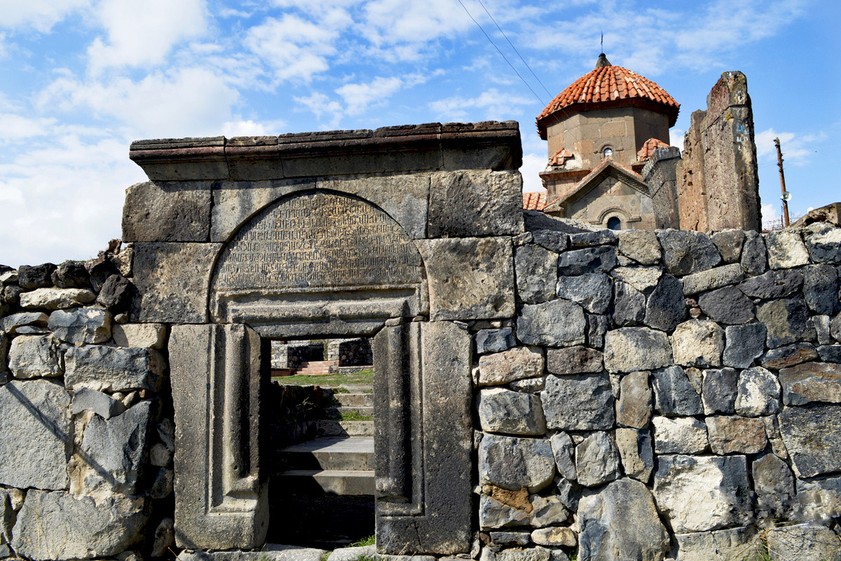
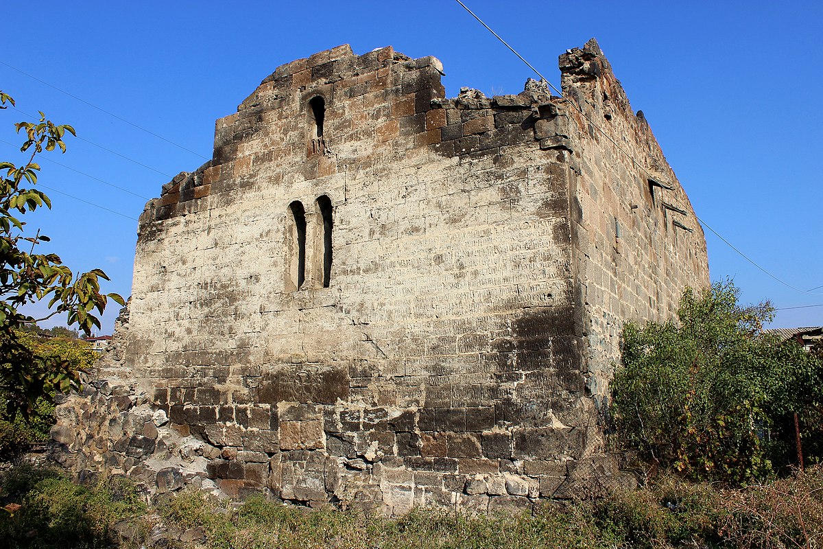
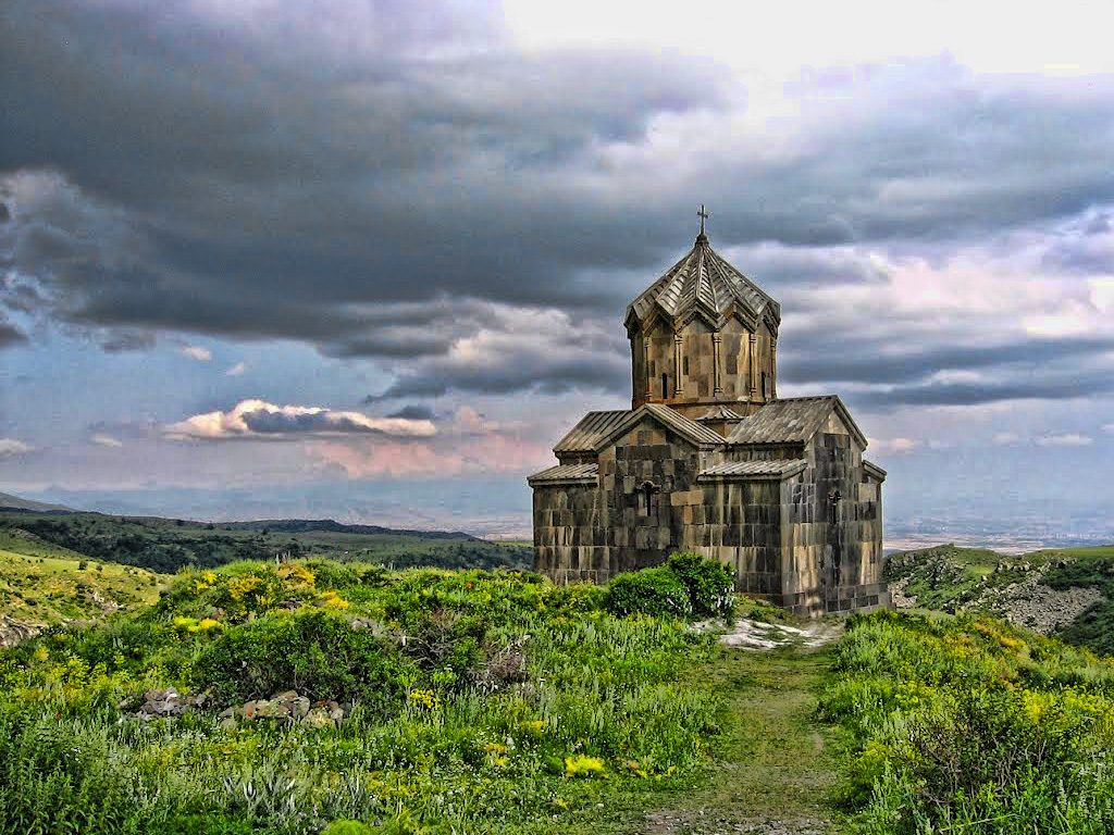
The most interesting and attractive monuments are churches Tsiranavor (X-XIII), Karmravor (VII-XIX), Spitakavor (XIII).
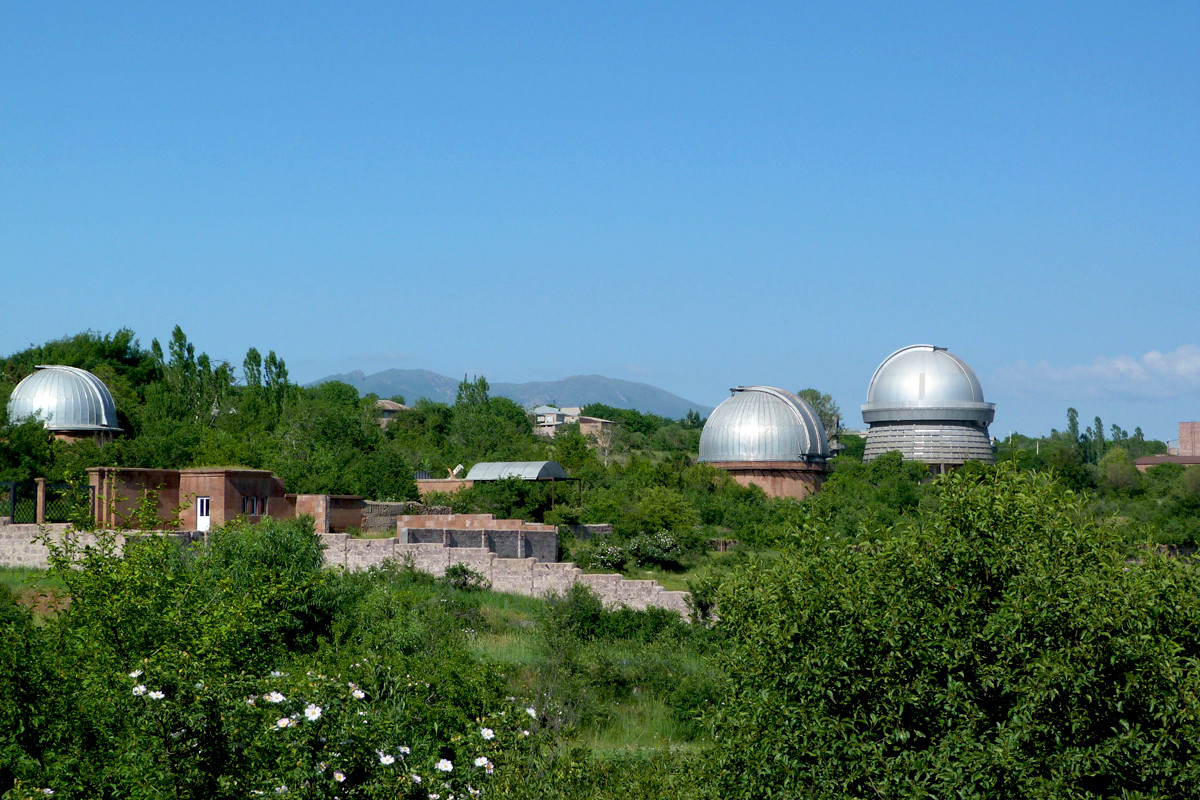
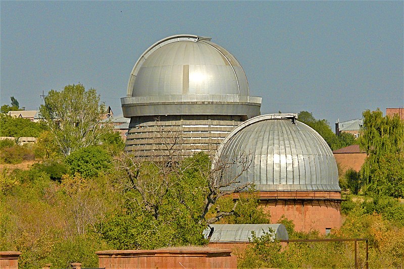
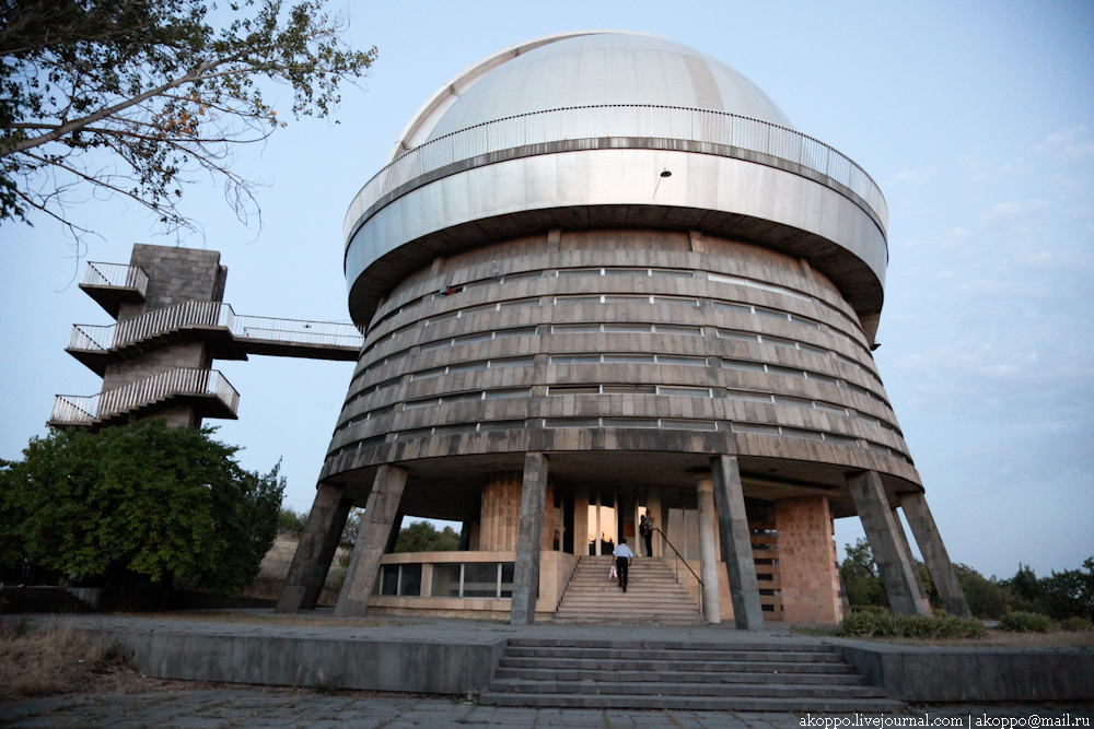
Byurakan village, which is located on the slopes of Mount Aragats, is the cradle of astronomical achievements of the Armenian nation. The Byurakan observatory was established here in 1946. It is located in 1500 altitude above sea level. It is one of the largest astronomical centers in the world.
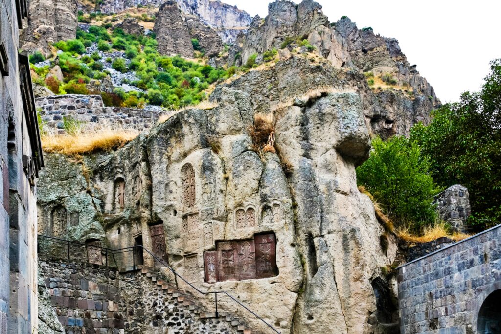
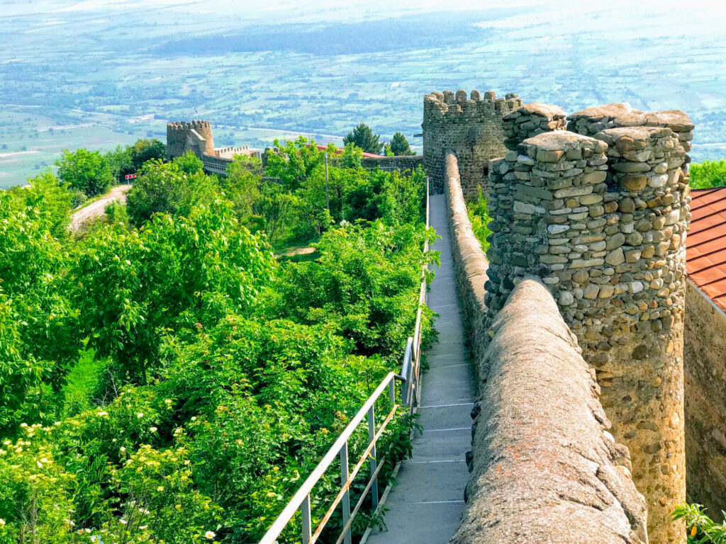
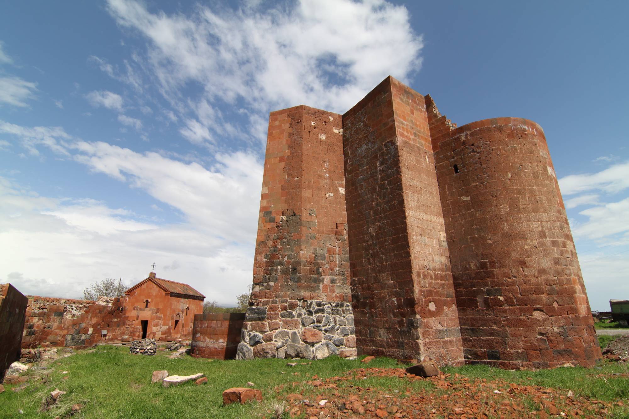
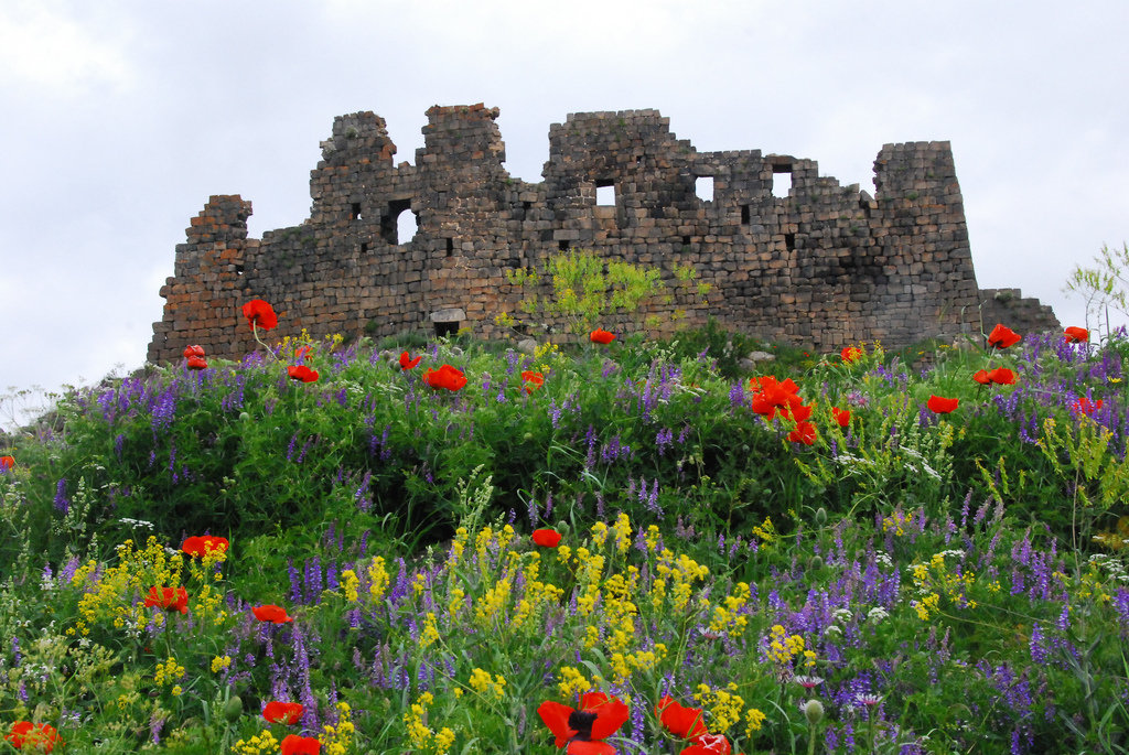
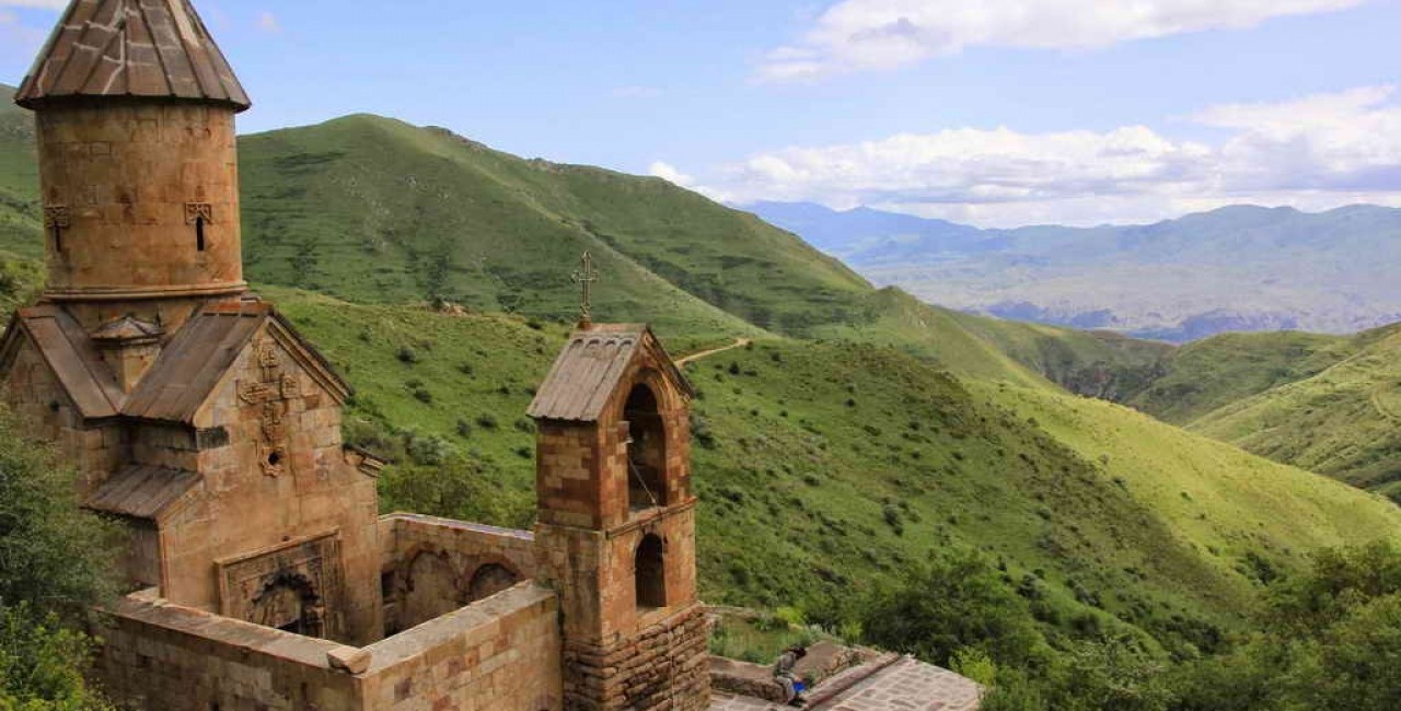
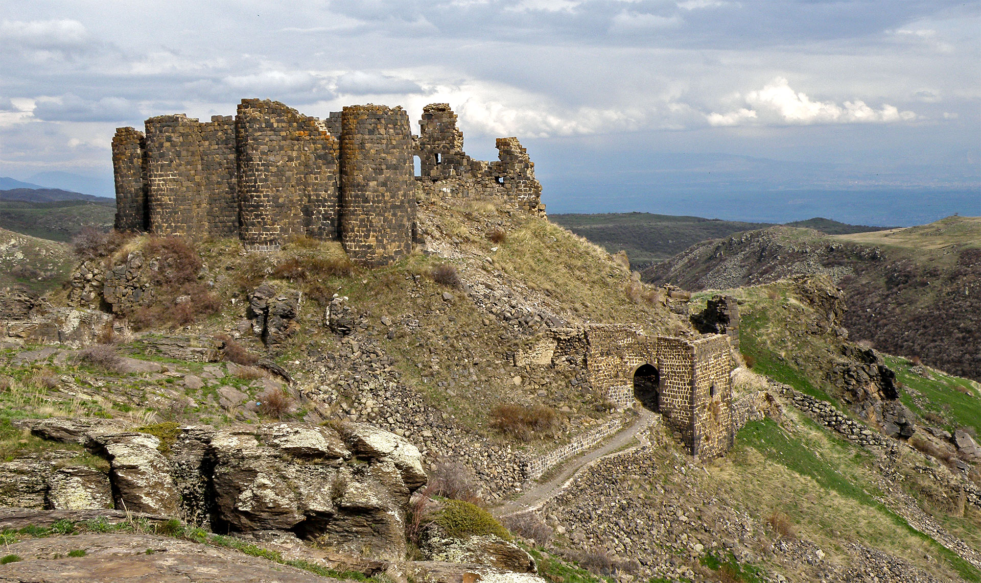
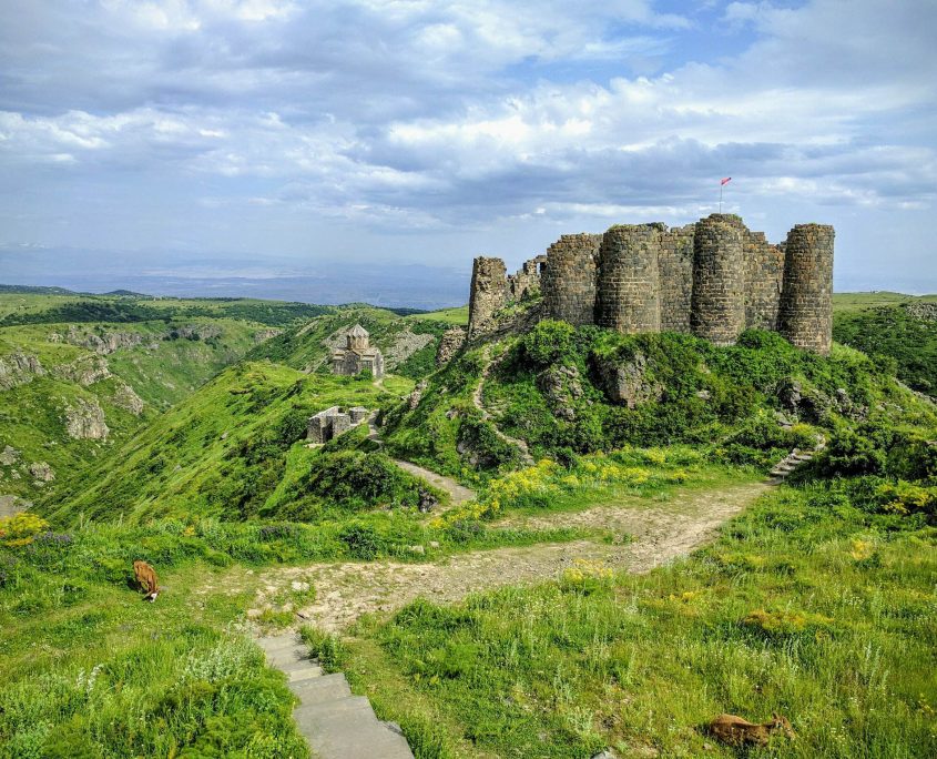
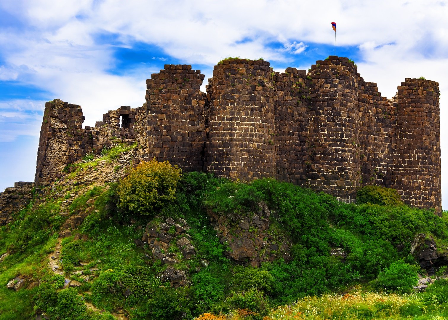
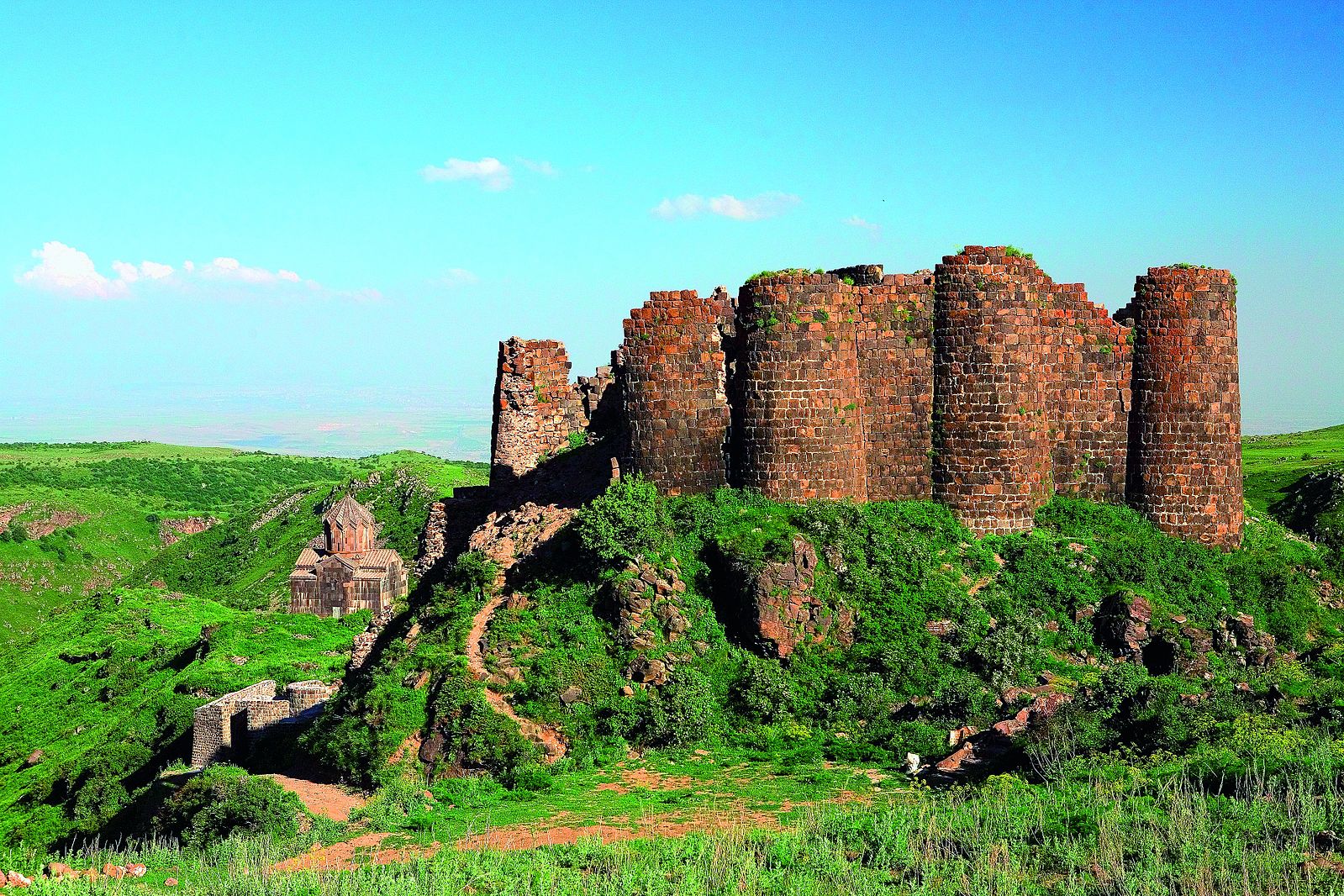
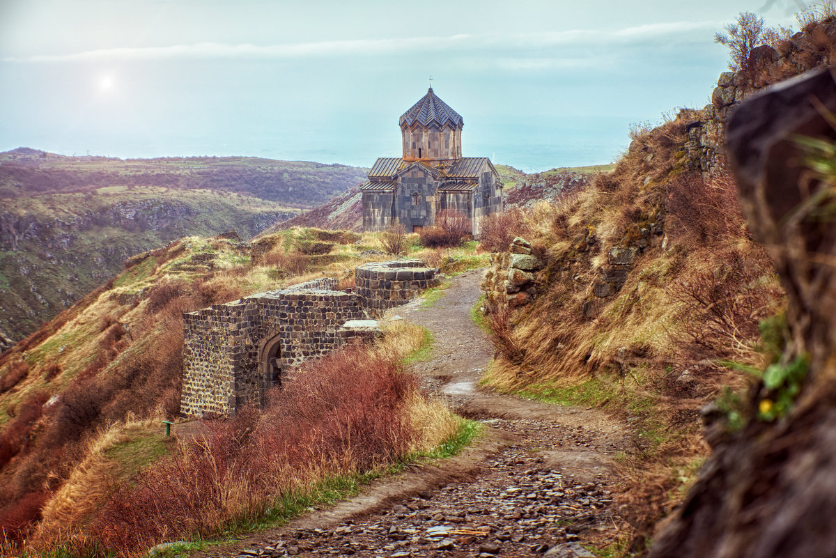
7km to the North of Byurakan a town-fortress named Amberd was constructed during the reign of Kamsarid rules in VII c and preserved until the end of XIV. The fortress is located at 2300 meters above sea level.
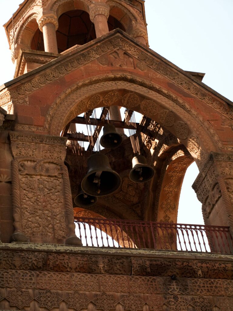
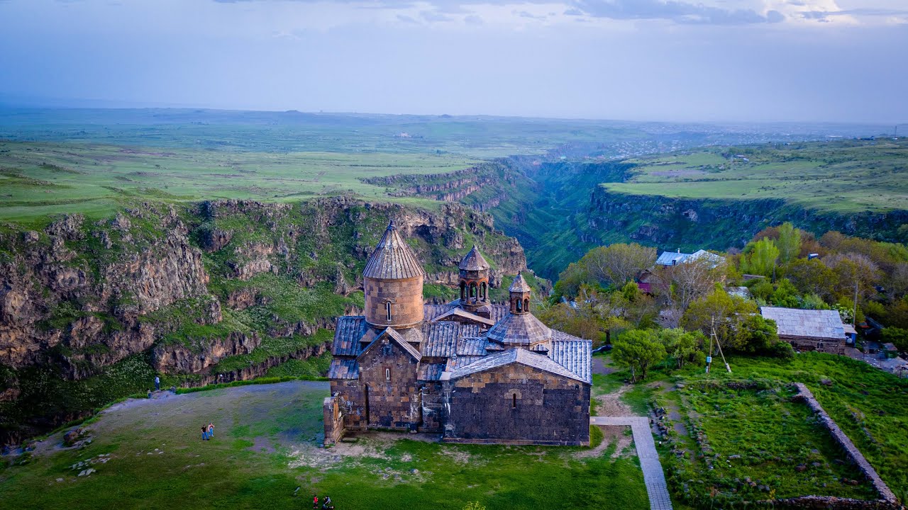
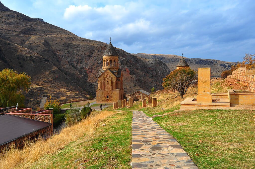
The construction of Saghmosavank took place during 1215-1290. The ensemble is famous for its depository of manuscripts established in 1255. Numerous miniature-illustrations were copied and created here.
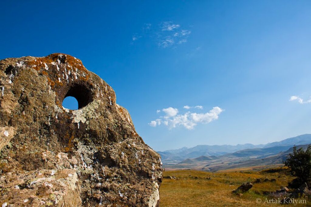
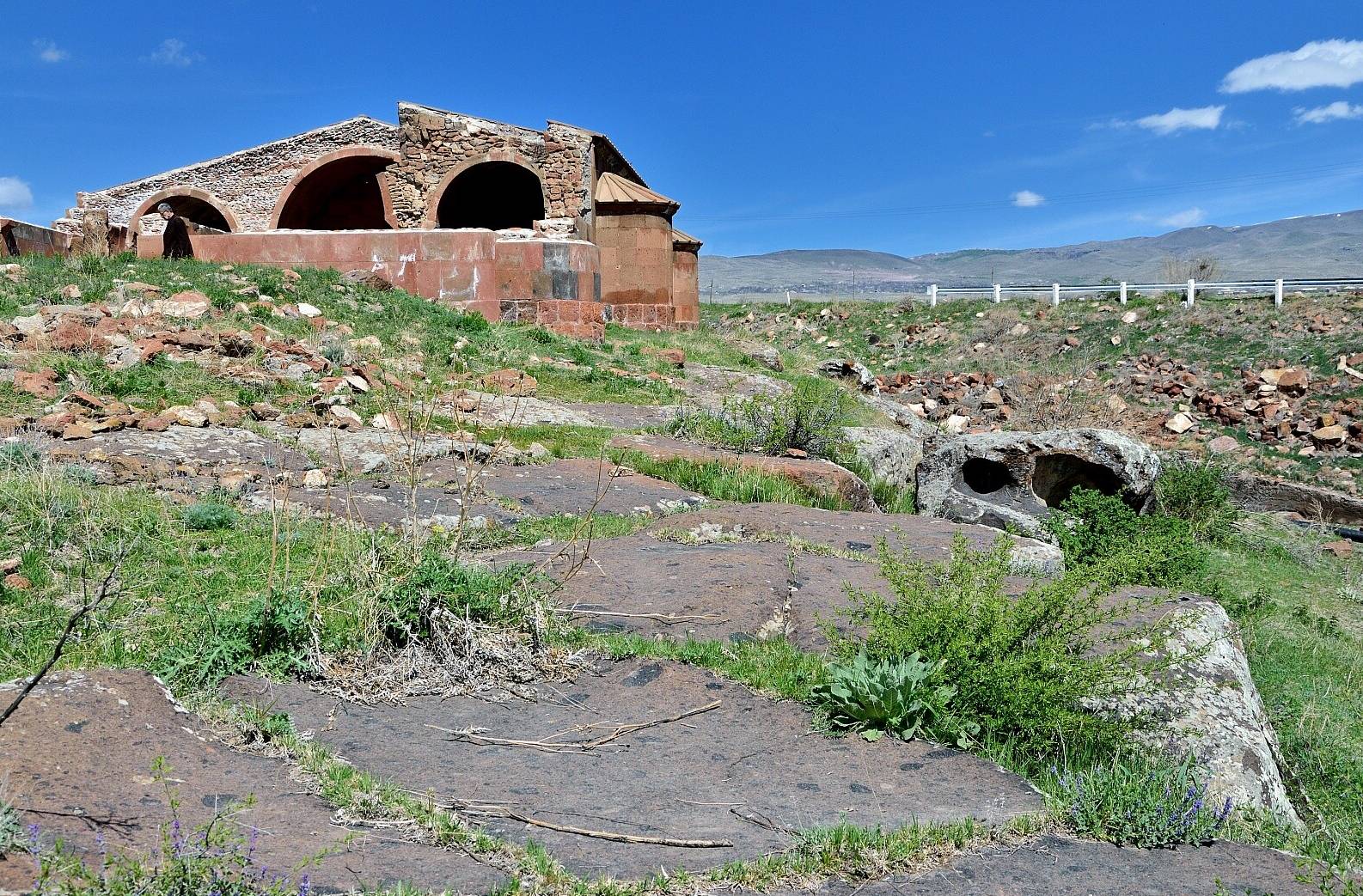
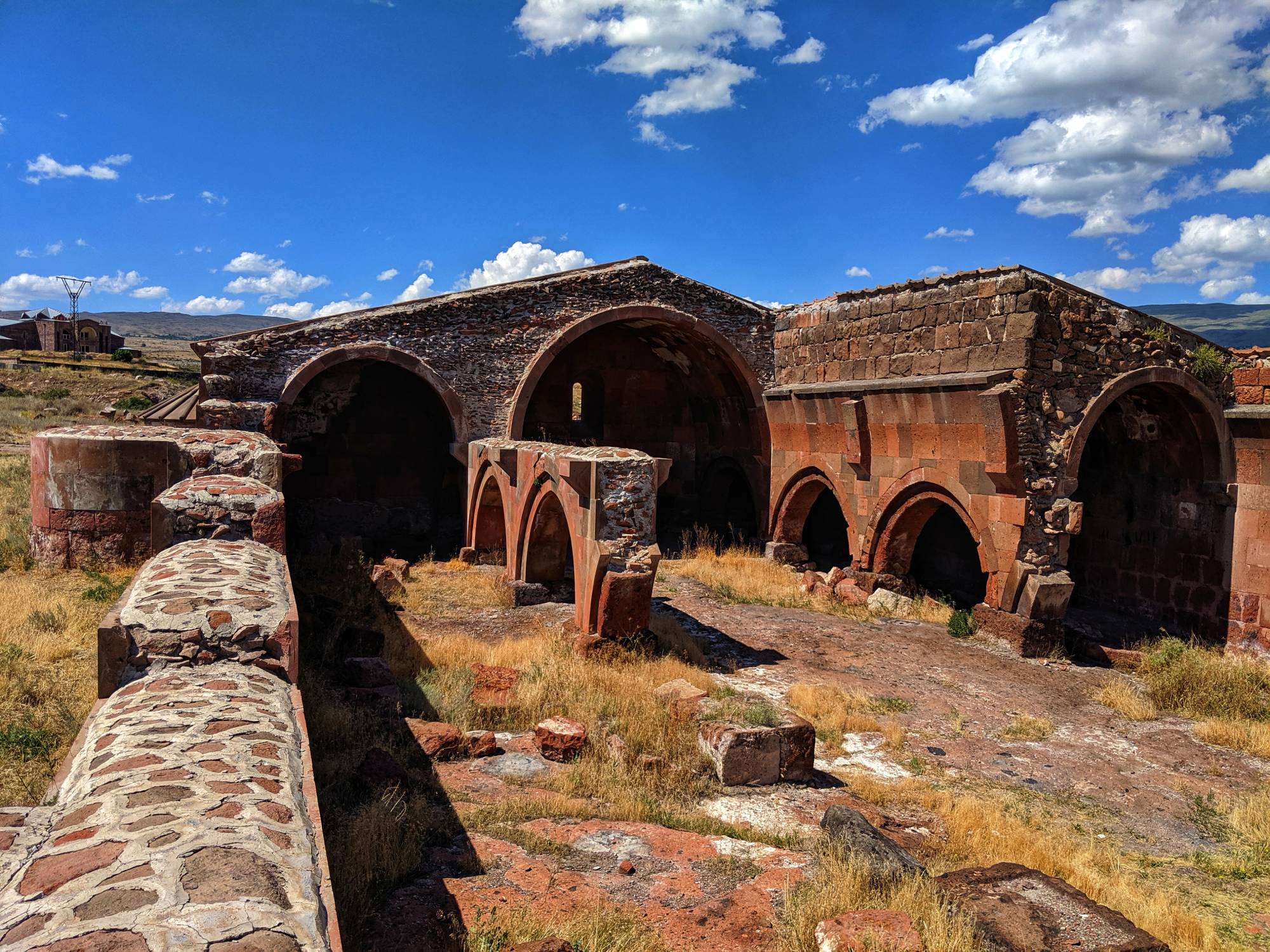
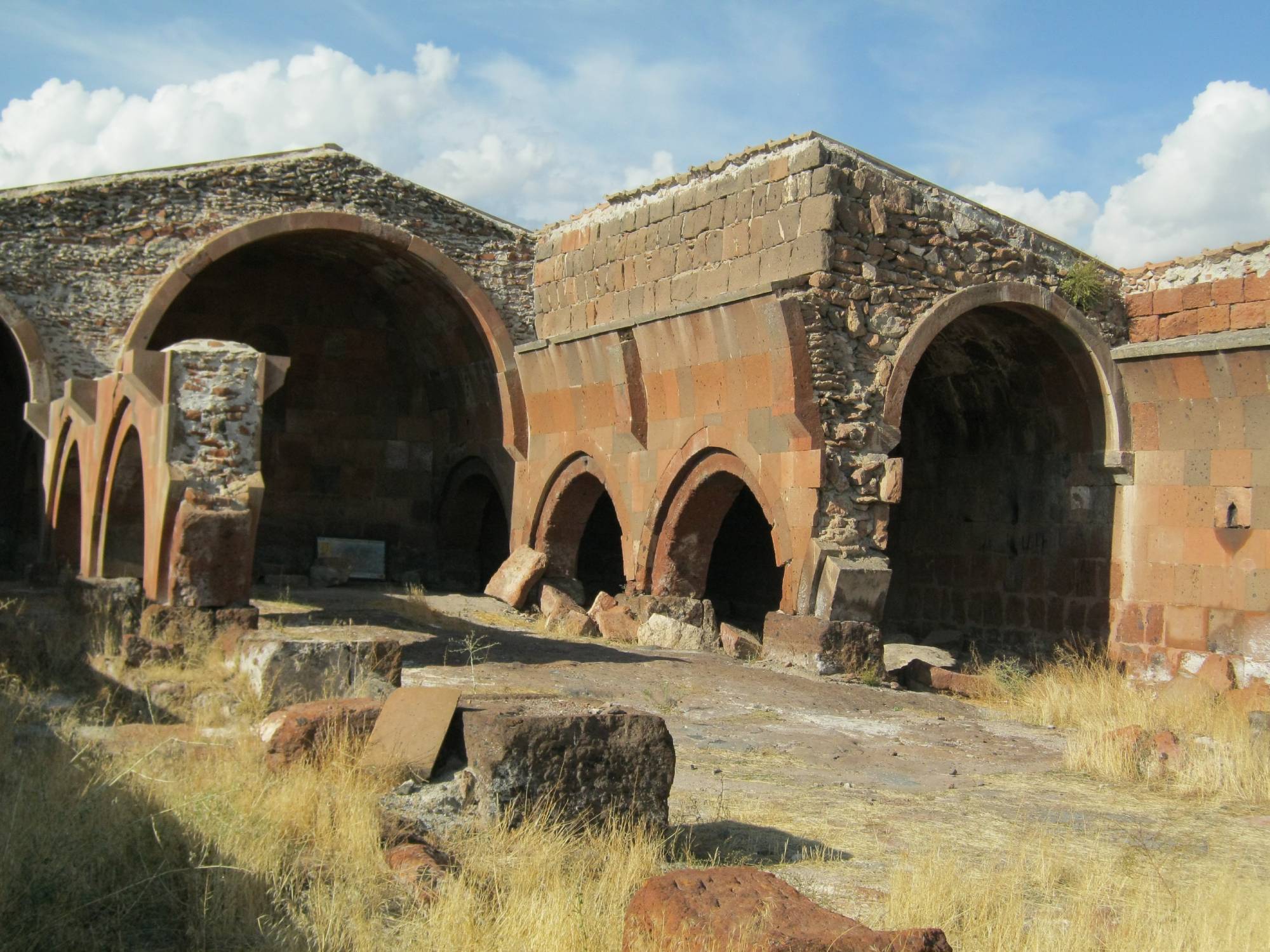
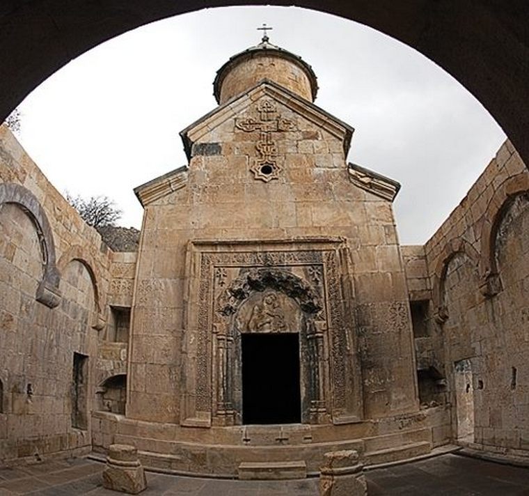
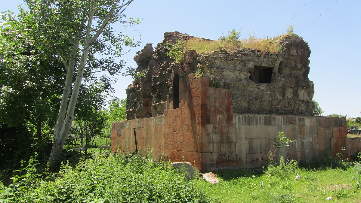
The lace around the slopes of mountain Aragats is completed by frescoed churched built in Mastara, Talin and Aruch VII century as well as magnificent castles and impregnable fortresses.


